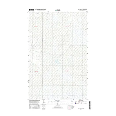
2016 Map of Four Town NW
USGS Topo · Published 2016About this map
Moose River meanders through this remote wetland landscape in Beltrami County, defining the drainage patterns of a region largely managed for its natural resources. The terrain is characterized by expansive marshes and low-lying topography, typical of Northern Minnesota's glacial plains. Human activity is primarily visible through a sparse grid of access routes, including Morehouse Rd NW and Moose River Rd NW, which cut across the Public Land Survey System sections. These roads, along with Snowbird Ln NW and Lobo Rd NW, provide essential passage for land management and seasonal access in an area dominated by hydrology rather than permanent settlement. The map clearly delineates the township and range boundaries, such as t158n r38w and t157n r37w, providing a clear structural framework for those researching land tracts or local geography in this quiet corner of the state.
Find a feature on this map
10 named features on this map. Tap any name to fly to it.
Don’t see what you’re looking for? This feature index may not catch every label — zoom into the map to look around manually.
Map Details
Editions of this 2016 Four Town NW Map
This is the sole edition of this map. No revisions or reprints were ever made.
Other maps of this area

1918 · Pencer
USGS Topo · 1:62,500

1918 · Malcolm
USGS Topo · 1:62,500

1919 · Liner
USGS Topo · 1:62,500

1954 · Roseau
USGS Topo · 1:250,000

1957 · Roseau
USGS Topo · 1:250,000

1958 · Roseau
USGS Topo · 1:250,000

1968 · Mulligan Lake SW
USGS Topo · 1:24,000
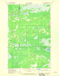
1968 · Mulligan Lake
USGS Topo · 1:24,000
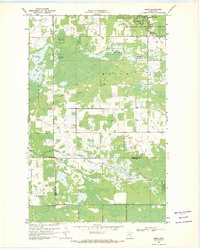
1969 · Skime
USGS Topo · 1:24,000

1973 · Gates Corner
USGS Topo · 1:24,000