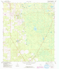
1968 Map of Fourmile Lake
USGS Topo · Published 1993About this map
Fourmile Lake and Threemile Lake anchor this 1968 landscape in Gilchrist County, revealing a pocket of the Florida panhandle defined by its myriad ponds and sinkholes. The settlement pattern centers around the small communities of Bell at the northern edge and Trenton to the south, connected by a network of rural roads that navigate around features like Weeks Waterhole and Gator Pond.
Find a feature on this map
31 named features on this map. Tap any name to fly to it.
Don’t see what you’re looking for? This feature index may not catch every label — zoom into the map to look around manually.
Map Details
Editions of this 1968 Fourmile Lake Map
2 editions found
Other maps of this area

1954 · Gainesville
USGS Topo · 1:250,000

1958 · Gainesville
USGS Topo · 1:250,000

1959 · Gainesville
USGS Topo · 1:250,000

1968 · Newberry SW
USGS Topo · 1:24,000

1968 · Waters Lake
USGS Topo · 1:24,000

1968 · Fourmile Lake
USGS Topo · 1:24,000

1968 · Hatchbend
USGS Topo · 1:24,000

1968 · Trenton
USGS Topo · 1:24,000
1968 · Suwannee River
USGS Topo · 1:24,000
1968 · Wannee
USGS Topo · 1:24,000