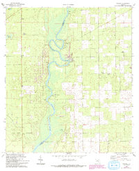
1968 Map of Wannee
USGS Topo · Published 1993About this map
The Suwannee River carves a winding path along the boundary between Dixie Co and Gilchrist Co, anchoring a landscape defined by riverside landings and freshwater springs. This 1968 survey reveals a series of critical natural features such as Sun Springs, Hurt Springs, and Otter Springs, which have long drawn people to the river's edge. The settlement at Wannee and the river access at McCrabb Landing illustrate the historic importance of the waterway for local transport and recreation.
Find a feature on this map
27 named features on this map. Tap any name to fly to it.
Don’t see what you’re looking for? This feature index may not catch every label — zoom into the map to look around manually.
Map Details
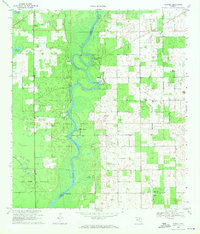
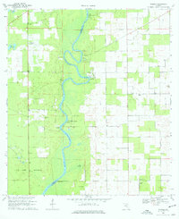
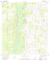
Editions of this 1968 Wannee Map
4 editions found
Other maps of this area

1954 · Eugene
USGS Topo · 1:24,000

1954 · Cross City East
USGS Topo · 1:24,000

1954 · Mallory Swamp SE
USGS Topo · 1:24,000

1954 · Gainesville
USGS Topo · 1:250,000

1956 · Mallory Swamp SE
USGS Topo · 1:25,000

1958 · Gainesville
USGS Topo · 1:250,000

1959 · Gainesville
USGS Topo · 1:250,000

1968 · Fourmile Lake
USGS Topo · 1:24,000

1968 · Hatchbend
USGS Topo · 1:24,000

1968 · Trenton
USGS Topo · 1:24,000