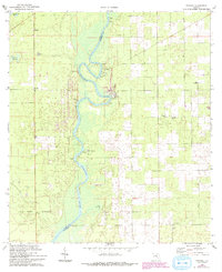
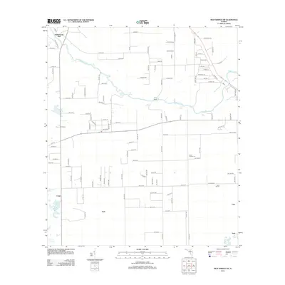
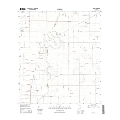
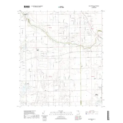
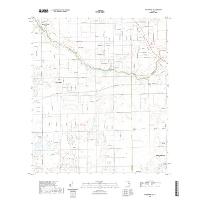
1968 Map of Wannee
USGS Topo · Published 1977About this map
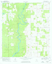
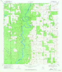
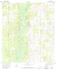
The Suwannee River carves a winding path along the Dixie Co and Gilchrist Co boundary, defining the landscape of this 1968 survey. Along its banks, the map reveals the river-dependent infrastructure of the era, from McCrabb Landing and Log Landing to the established Picnic Area locations at Hart Springs, Sun Springs, and Otter Springs. These natural artesian features appear as focal points for local recreation in a territory otherwise dominated by dense woodlands and low-lying basins like Tomlinson Prairie.
Find a feature on this map
30 named features on this map. Tap any name to fly to it.
Don’t see what you’re looking for? This feature index may not catch every label — zoom into the map to look around manually.
Map Details
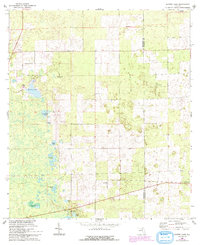
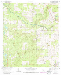
Editions of this 1968 Wannee Map
4 editions found
Historical Maps of Blitchville Through Time
24 maps found
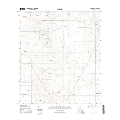
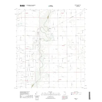
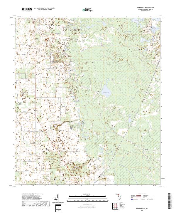
1968 Fourmile Lake
Gilchrist County, FL
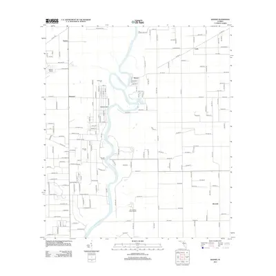
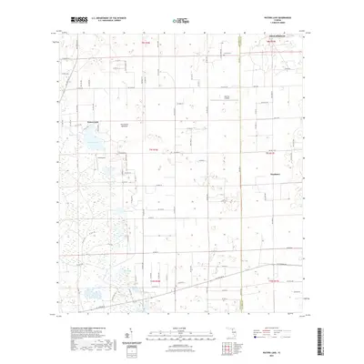
1968 Wannee
Gilchrist County, FL
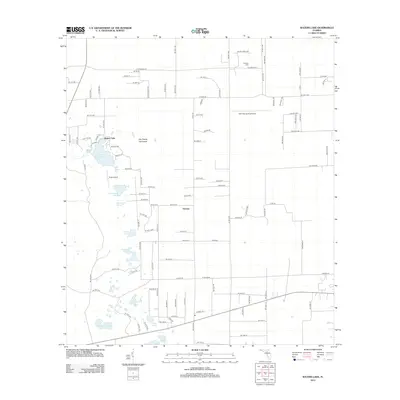
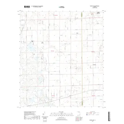
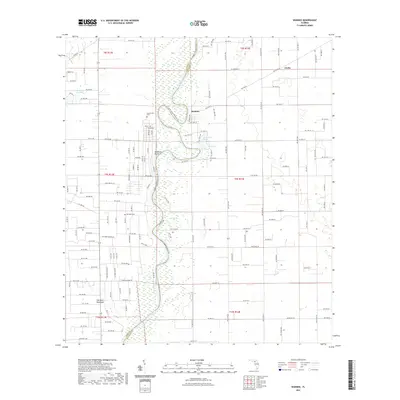
1968 Waters Lake
Gilchrist County, FL
1969 High Springs SW
Gilchrist County, FL
2012 Fourmile Lake
Gilchrist County, FL
2012 High Springs SW
Gilchrist County, FL
2012 Wannee
Gilchrist County, FL
2012 Waters Lake
Gilchrist County, FL
2015 Fourmile Lake
Gilchrist County, FL
2015 High Springs SW
Gilchrist County, FL
2015 Wannee
Gilchrist County, FL
2015 Waters Lake
Gilchrist County, FL
2018 Fourmile Lake
Gilchrist County, FL
2018 High Springs SW
Gilchrist County, FL
2018 Wannee
Gilchrist County, FL
2018 Waters Lake
Gilchrist County, FL
2021 Fourmile Lake
Gilchrist County, FL
2021 High Springs SW
Gilchrist County, FL
2021 Wannee
Gilchrist County, FL
2021 Waters Lake
Gilchrist County, FL
2024 Fourmile Lake
Gilchrist County, FL
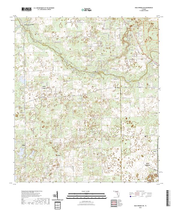
2024 High Springs SW
Gilchrist County, FL
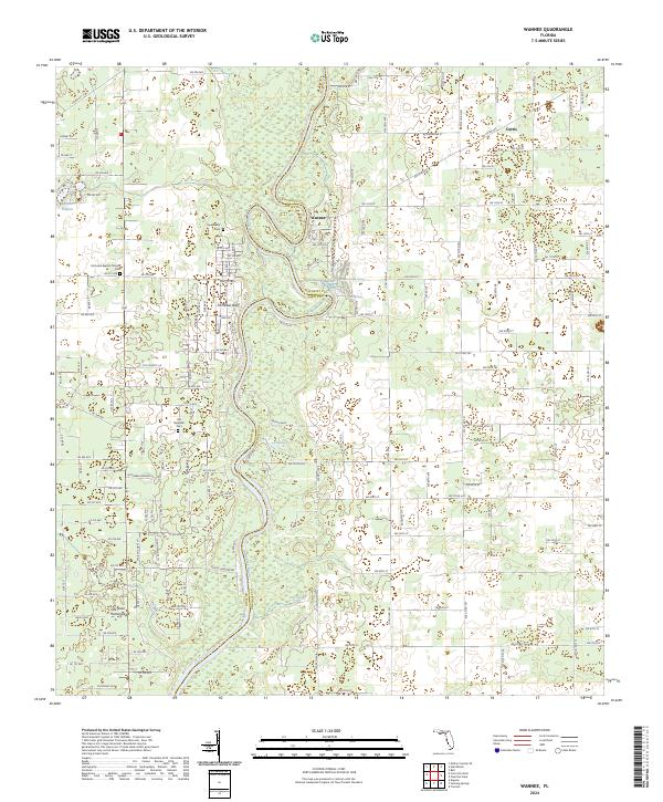
2024 Wannee
Gilchrist County, FL
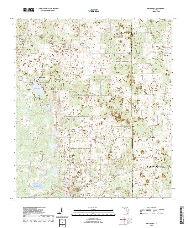
2024 Waters Lake
Gilchrist County, FL