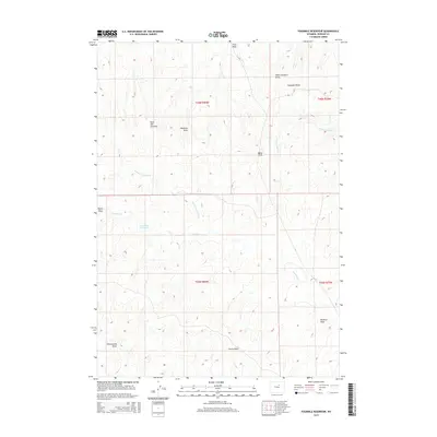
2015 Map of Fourmile Reservoir
USGS Topo · Published 2015About this map
Reno Hill Anticline dominates the central topography of this Johnson County landscape, illustrating the complex geological folds that define this portion of the Powder River Basin. The drainage network is characterized by numerous seasonal watercourses and draws, including Truk Draw in the north and Strong Draw in the south, which channel runoff through the arid terrain. Four Mile Reservoir serves as a critical water catchment point, fed by the N Fork Fourmile Cr. This 2015 survey provides a clear view of the rural land divisions and surveying benchmarks like Reno Hill, situated within the expansive ranchlands of northern Wyoming. The intricate network of family-named draws such as Voelkner Draw and Campbell Draw reflects the history of local land usage and topographic naming conventions in the high plains.
Find a feature on this map
18 named features on this map. Tap any name to fly to it.
Don’t see what you’re looking for? This feature index may not catch every label — zoom into the map to look around manually.
Map Details
Editions of this 2015 Fourmile Reservoir Map
This is the sole edition of this map. No revisions or reprints were ever made.
Other maps of this area

1955 · Arminto
USGS Topo · 1:250,000

1958 · Arminto
USGS Topo · 1:250,000

1961 · Soldier Creek
USGS Topo · 1:24,000

1961 · Kaycee NE
USGS Topo · 1:24,000

1961 · Fourmile Reservoir
USGS Topo · 1:24,000

1961 · Figure 8 Reservoir
USGS Topo · 1:24,000

1961 · Dry Creek Reservoir
USGS Topo · 1:24,000

1961 · Antelope Draw
USGS Topo · 1:24,000

1961 · Provence Ranch
USGS Topo · 1:24,000

1961 · Elaine Draw
USGS Topo · 1:24,000