
1961 Map of Kaycee NE
USGS Topo · Published 1964About this map
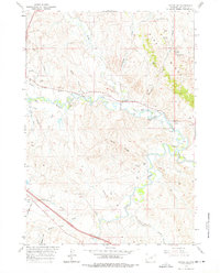
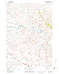
Pine Ridge dominates the northeastern landscape of this Johnson County survey, overlooking a network of cattle ranches and mining operations along the Middle Fork Powder River. The area's extraction history is visible through a cluster of coal or mineral claims near Sippie Hill, including the Sippie and Smith Mine, Indart Mine, and Babion Mine. These operations sit in a rugged terrain defined by water management, where the Sussex Irrigation Canal and Newland DITCH draw from the river to support local agriculture.
Find a feature on this map
46 named features on this map. Tap any name to fly to it.
Don’t see what you’re looking for? This feature index may not catch every label — zoom into the map to look around manually.
Map Details
Editions of this 1961 Kaycee NE Map
3 editions found
Other maps of this area

1955 · Arminto
USGS Topo · 1:250,000

1958 · Arminto
USGS Topo · 1:250,000

1961 · Fourmile Reservoir
USGS Topo · 1:24,000

1961 · Figure 8 Reservoir
USGS Topo · 1:24,000

1961 · Dry Creek Reservoir
USGS Topo · 1:24,000

1961 · TTT Ranch
USGS Topo · 1:24,000

1961 · Dugout Ranch
USGS Topo · 1:24,000

1961 · Wall Creek
USGS Topo · 1:24,000

1961 · Hibbard Draw
USGS Topo · 1:24,000

1961 · Kaycee
USGS Topo · 1:24,000