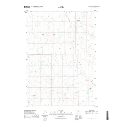
2017 Map of Fourmile Reservoir
USGS Topo · Published 2017About this map
The Reno Hill Anticline defines much of the geological character in this portion of Johnson County, a landscape carved by a series of named ephemeral drainages and draws. The central hydrological feature is Fourmile Reservoir, fed by the N Fork Fourmile Cr and draining into Fourmile Cr. These seasonal watercourses reflect the arid cattle-country environment of northern Wyoming, where water management is critical for local ranching operations.
Find a feature on this map
19 named features on this map. Tap any name to fly to it.
Don’t see what you’re looking for? This feature index may not catch every label — zoom into the map to look around manually.
Map Details
Editions of this 2017 Fourmile Reservoir Map
This is the sole edition of this map. No revisions or reprints were ever made.
Other maps of this area

1955 · Arminto
USGS Topo · 1:250,000

1958 · Arminto
USGS Topo · 1:250,000

1961 · Soldier Creek
USGS Topo · 1:24,000

1961 · Kaycee NE
USGS Topo · 1:24,000

1961 · Fourmile Reservoir
USGS Topo · 1:24,000

1961 · Figure 8 Reservoir
USGS Topo · 1:24,000

1961 · Dry Creek Reservoir
USGS Topo · 1:24,000

1961 · Antelope Draw
USGS Topo · 1:24,000

1961 · Provence Ranch
USGS Topo · 1:24,000

1961 · Elaine Draw
USGS Topo · 1:24,000