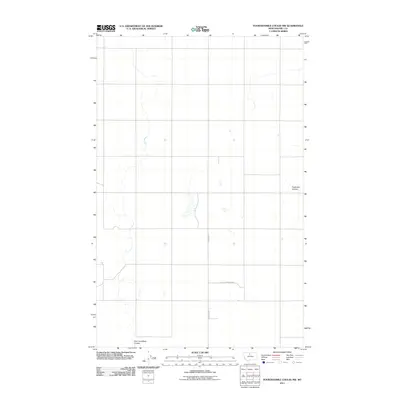
2011 Map of Fourteenmile Coulee NW
USGS Topo · Published 2011About this map
East Fork Black Coulee carves through the expansive northern Montana prairie in this Hill County quadrangle, showing the drainage patterns typical of the region's high plains. The landscape is defined by its agricultural and topographic features, including the meandering path of Faulkners Coulee and the sparse network of rural routes that facilitate movement through this wide-open terrain. Local access is marked by several descriptively named roads, most notably J Aley Farm Sign Rd and Hingham Rd, which serve as the primary conduits for the area's farming operations. This 2011 survey illustrates the modern layout of sections and land divisions that have persisted in the rural West, providing a clear record of the intersection between natural coulees and human-engineered boundaries.
Find a feature on this map
4 named features on this map. Tap any name to fly to it.
Don’t see what you’re looking for? This feature index may not catch every label — zoom into the map to look around manually.
Map Details
Editions of this 2011 Fourteenmile Coulee NW Map
This is the sole edition of this map. No revisions or reprints were ever made.
Other maps of this area

1919 · Big Sandy
USGS Topo · 1:125,000

1919 · Alma
USGS Topo · 1:125,000

1920 · Gildford
USGS Topo · 1:125,000

1943 · Gildford
USGS Topo · 1:125,000

1954 · Shelby
USGS Topo · 1:250,000

1958 · Shelby
USGS Topo · 1:250,000

1969 · Fourteenmile Coulee SW
USGS Topo · 1:24,000

1969 · Hingham
USGS Topo · 1:24,000

1969 · Fourteenmile Coulee NW
USGS Topo · 1:24,000
1969 · Fourteenmile Coulee SE
USGS Topo · 1:24,000