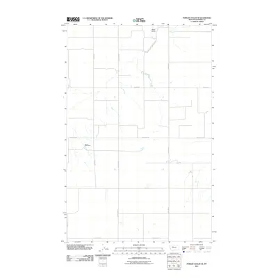
2011 Map of Fowler Coulee SE
USGS Topo · Published 2011About this map
Rocky Coulee carves through this high plains landscape in Pondera County, Montana, illustrating the drainage patterns of the northern Great Plains. This 2011 survey reveals a highly structured agricultural grid, where long-established section lines are traced by a network of rural routes including Kathan Rd, Substation Rd, and Preputin Rd. The map documents water management in this arid region, most notably at the Banka Dama Dam, which serves as a vital anchor point for local ranching or irrigation needs. The presence of several family-named roads like Johnson Rd and Bitz provides valuable clues for genealogists tracking local land ownership and the evolution of homesteaded parcels into the 21st century. The landscape remains largely open, defined by the intersection of coulee topography and the precision of the Public Land Survey System.
Find a feature on this map
12 named features on this map. Tap any name to fly to it.
Don’t see what you’re looking for? This feature index may not catch every label — zoom into the map to look around manually.
Map Details
Editions of this 2011 Fowler Coulee SE Map
This is the sole edition of this map. No revisions or reprints were ever made.
Other maps of this area

1886 · Great Falls
USGS Topo · 1:250,000

1920 · Conrad
USGS Topo · 1:125,000

1949 · Timber Coulee
USGS Topo · 1:62,500

1950 · Timber Coulee
USGS Topo · 1:62,500

1950 · Dutton
USGS Topo · 1:62,500

1954 · Great Falls
USGS Topo · 1:250,000

1954 · Shelby
USGS Topo · 1:250,000

1957 · Great Falls
USGS Topo · 1:250,000

1958 · Shelby
USGS Topo · 1:250,000

1967 · Fowler Coulee SW
USGS Topo · 1:24,000