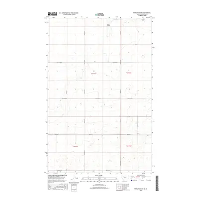
2017 Map of Fowler Coulee SE
USGS Topo · Published 2017About this map
Pondera Coulee and Rocky Coulee carve through this high Montana landscape, defining the drainage patterns of Pondera County. The area is organized around a rigid section-line grid of rural corridors, including Substation Rd, Preputin Rd, and Kathan Rd, which facilitate transport across the agricultural terrain. Long-established ranching and farming operations are reflected in local nomenclature, such as Hog Johnson Rd and Armstrong Rd. The presence of Brady Rd E and Broadview Rd suggests the connectivity to nearby regional hubs. This survey illustrates the intersections of natural topographic coulees with the precise boundaries of Township 27 North, Range 1 East and Township 26 North, Range 2 East, revealing how the landscape has been divided for settlement and land use.
Find a feature on this map
20 named features on this map. Tap any name to fly to it.
Don’t see what you’re looking for? This feature index may not catch every label — zoom into the map to look around manually.
Map Details
Editions of this 2017 Fowler Coulee SE Map
This is the sole edition of this map. No revisions or reprints were ever made.
Other maps of this area

1886 · Great Falls
USGS Topo · 1:250,000

1920 · Conrad
USGS Topo · 1:125,000

1949 · Timber Coulee
USGS Topo · 1:62,500

1950 · Timber Coulee
USGS Topo · 1:62,500

1950 · Dutton
USGS Topo · 1:62,500

1954 · Great Falls
USGS Topo · 1:250,000

1954 · Shelby
USGS Topo · 1:250,000

1957 · Great Falls
USGS Topo · 1:250,000

1958 · Shelby
USGS Topo · 1:250,000

1967 · Fowler Coulee SW
USGS Topo · 1:24,000