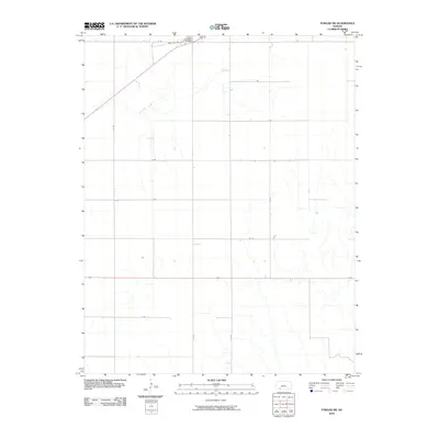
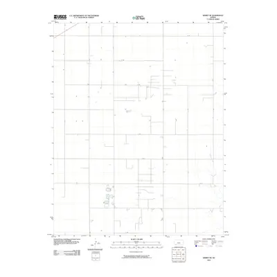
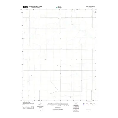
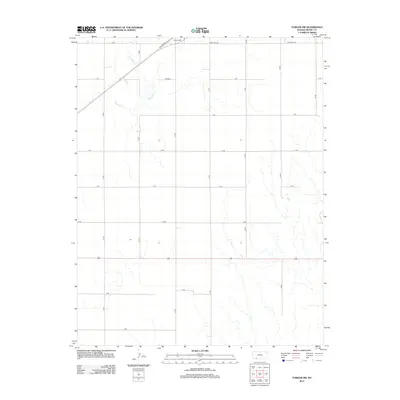
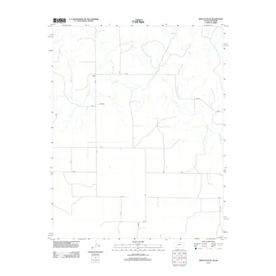
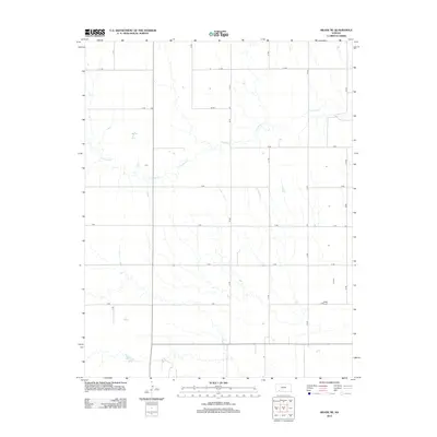
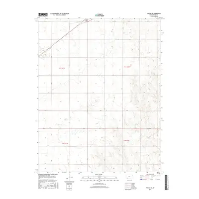
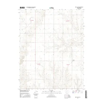
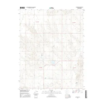
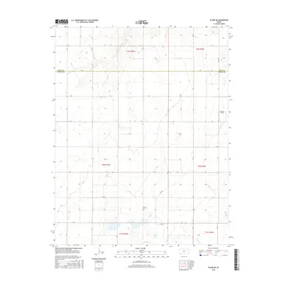
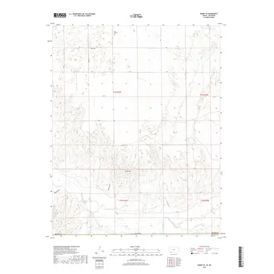
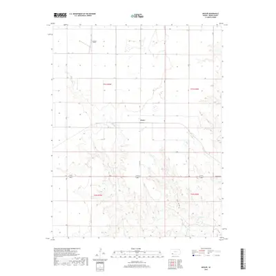
1967 Map of Fowler SW
USGS Topo · Published 1968About this map
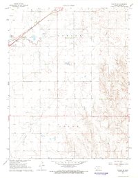
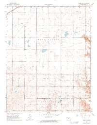
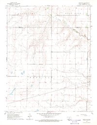
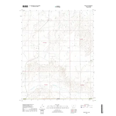
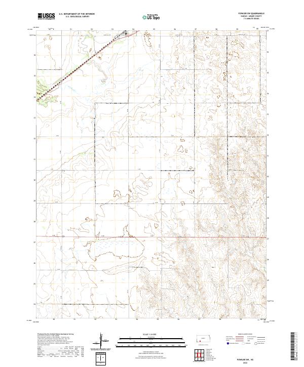
Crooked Creek meanders through the northwest corner of this Meade County landscape, where the Chicago Rock Island and Pacific railroad cuts a diagonal line across the High Plains. Surveyed in the mid-1960s, the terrain transitions from the relatively level agricultural fields in the north toward the more broken breaks of the southern townships. Historical interest centers on the Fowler Cemetery and the small McClane Lake, reflecting the essential relationship between water and settlement in this semi-arid region. Industrial activity is localized but present, including a long Pipeline corridor and several Gravel Pits that suggest local extraction for road building. The map clearly delineates the section lines and township boundaries of Fowler and Logan, providing a precise grid for property and genealogical research in this part of Kansas.
Find a feature on this map
10 named features on this map. Tap any name to fly to it.
Don’t see what you’re looking for? This feature index may not catch every label — zoom into the map to look around manually.
Map Details
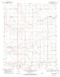
Editions of this 1967 Fowler SW Map
This is the sole edition of this map. No revisions or reprints were ever made.
Historical Maps of Meade County Through Time
78 maps found
1962 Irish Flats NE
Meade County, KS
1962 Irish Flats SE
Meade County, KS
1963 Irish Flats
Meade County, KS
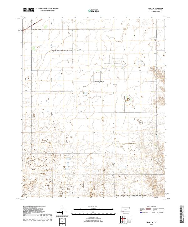
1963 Kismet NE
Meade County, KS
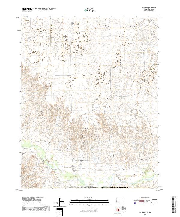
1963 Kismet SE
Meade County, KS

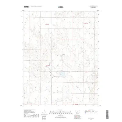
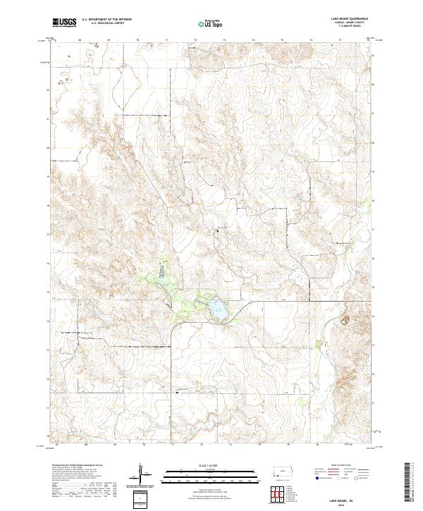
1963 Lake Meade
Meade County, KS
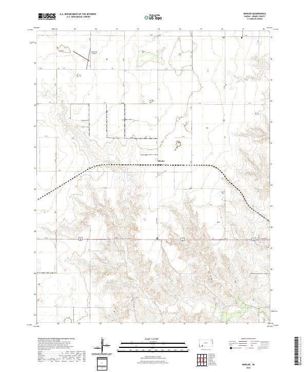
1963 Missler
Meade County, KS
1967 Fowler SW
Meade County, KS
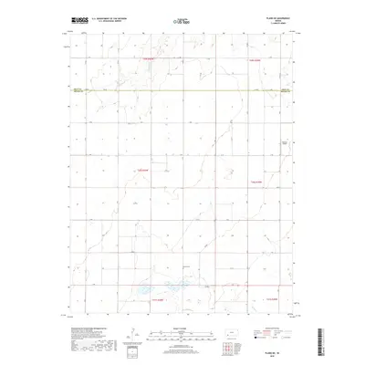
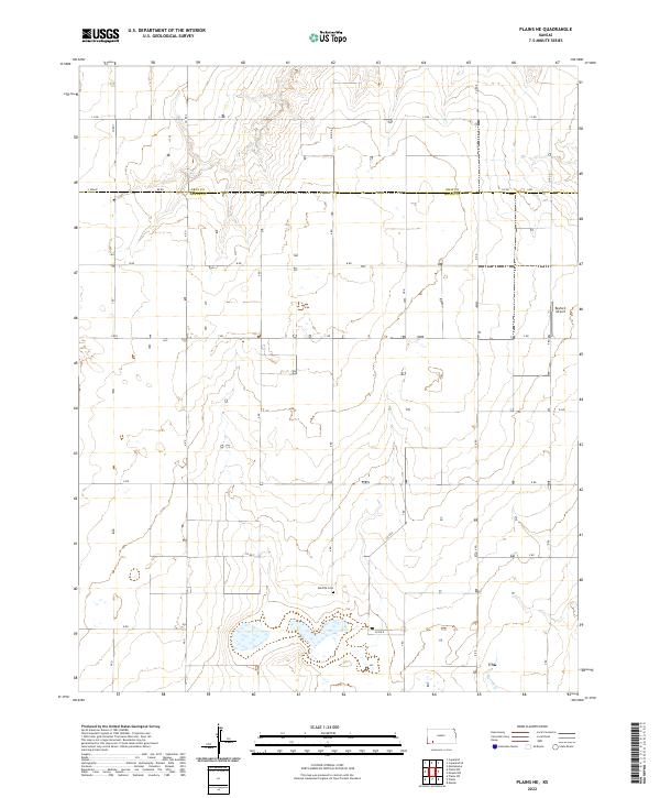
1967 Plains NE
Meade County, KS
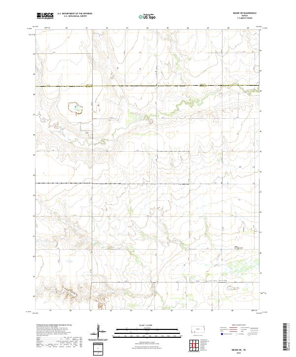
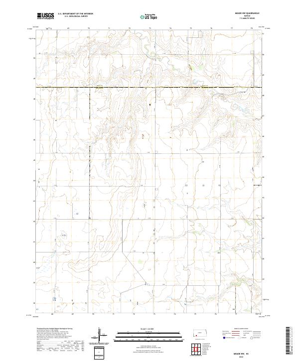
1968 Meade NW
Meade County, KS
1969 Meade NE
Meade County, KS
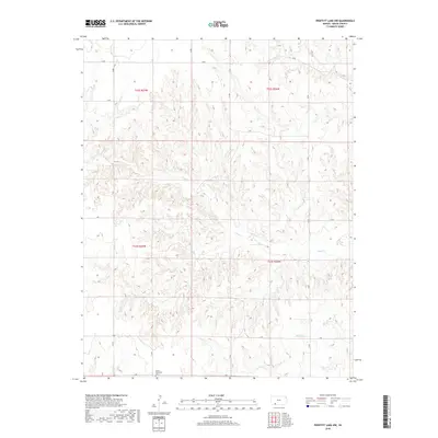
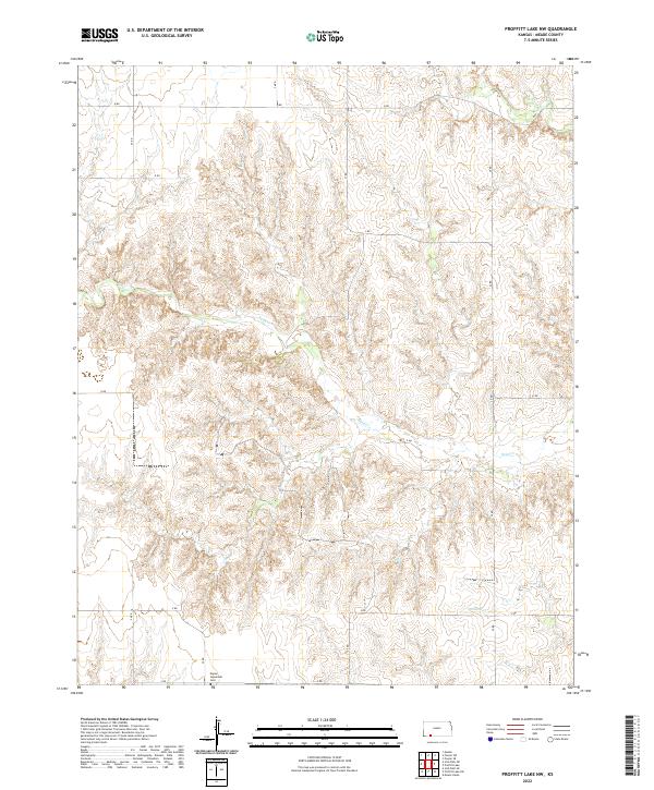
1972 Proffitt Lake NW
Meade County, KS
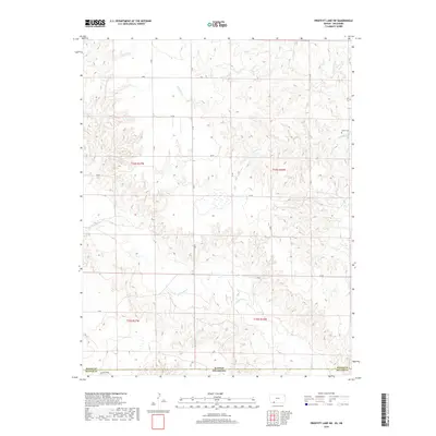
1972 Proffitt Lake SW
Meade County, KS
2010 Fowler SW
Meade County, KS
2010 Irish Flats
Meade County, KS
2010 Irish Flats NE
Meade County, KS
2010 Irish Flats SE
Meade County, KS
2010 Kismet NE
Meade County, KS
2010 Kismet SE
Meade County, KS
2010 Lake Meade
Meade County, KS
2010 Meade NE
Meade County, KS
2010 Meade NW
Meade County, KS
2010 Missler
Meade County, KS
2010 Plains NE
Meade County, KS
2010 Proffitt Lake NW
Meade County, KS
2010 Proffitt Lake SW
Meade County, KS
2012 Fowler SW
Meade County, KS
2012 Irish Flats
Meade County, KS
2012 Irish Flats NE
Meade County, KS
2012 Irish Flats SE
Meade County, KS
2012 Kismet NE
Meade County, KS
2012 Kismet SE
Meade County, KS
2012 Lake Meade
Meade County, KS
2012 Meade NE
Meade County, KS
2012 Meade NW
Meade County, KS
2012 Missler
Meade County, KS
2012 Plains NE
Meade County, KS
2012 Proffitt Lake NW
Meade County, KS
2012 Proffitt Lake SW
Meade County, KS
2016 Fowler SW
Meade County, KS
2016 Irish Flats
Meade County, KS
2016 Irish Flats NE
Meade County, KS
2016 Irish Flats SE
Meade County, KS
2016 Kismet NE
Meade County, KS
2016 Kismet SE
Meade County, KS
2016 Lake Meade
Meade County, KS
2016 Meade NE
Meade County, KS
2016 Meade NW
Meade County, KS
2016 Missler
Meade County, KS
2016 Plains NE
Meade County, KS
2016 Proffitt Lake NW
Meade County, KS
2016 Proffitt Lake SW
Meade County, KS
2018 Fowler SW
Meade County, KS
2018 Irish Flats
Meade County, KS
2018 Irish Flats NE
Meade County, KS
2018 Irish Flats SE
Meade County, KS
2018 Kismet NE
Meade County, KS
2018 Kismet SE
Meade County, KS
2018 Lake Meade
Meade County, KS
2018 Meade NE
Meade County, KS
2018 Meade NW
Meade County, KS
2018 Missler
Meade County, KS
2018 Plains NE
Meade County, KS
2018 Proffitt Lake NW
Meade County, KS
2018 Proffitt Lake SW
Meade County, KS
2022 Fowler SW
Meade County, KS
2022 Irish Flats
Meade County, KS
2022 Irish Flats NE
Meade County, KS
2022 Irish Flats SE
Meade County, KS
2022 Kismet NE
Meade County, KS
2022 Kismet SE
Meade County, KS
2022 Lake Meade
Meade County, KS
2022 Meade NE
Meade County, KS
2022 Meade NW
Meade County, KS
2022 Missler
Meade County, KS
2022 Plains NE
Meade County, KS
2022 Proffitt Lake NW
Meade County, KS
2022 Proffitt Lake SW
Meade County, KS