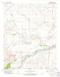
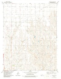
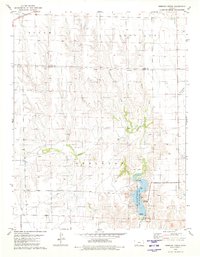
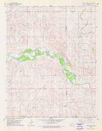
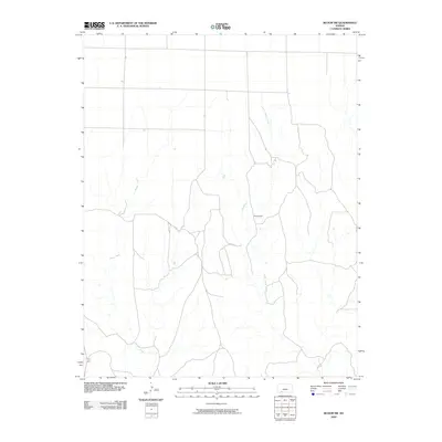
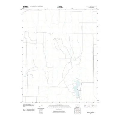
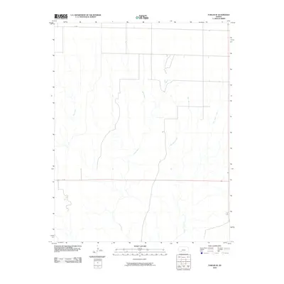
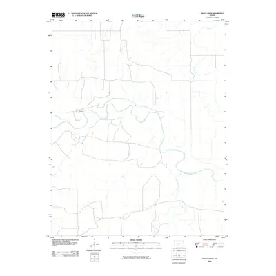
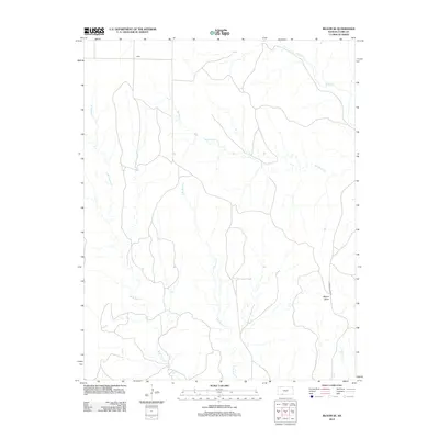
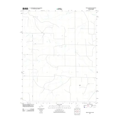
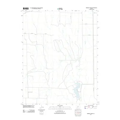
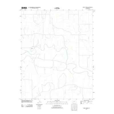
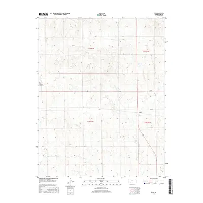
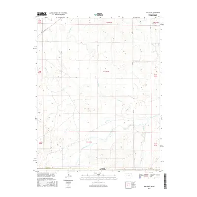
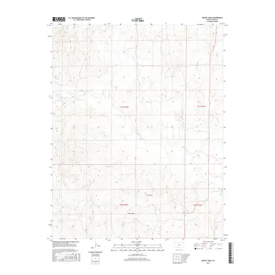
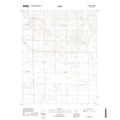
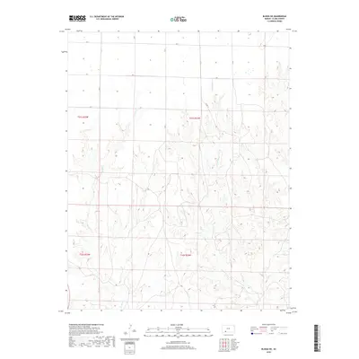
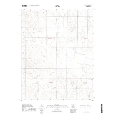
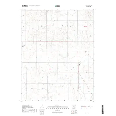
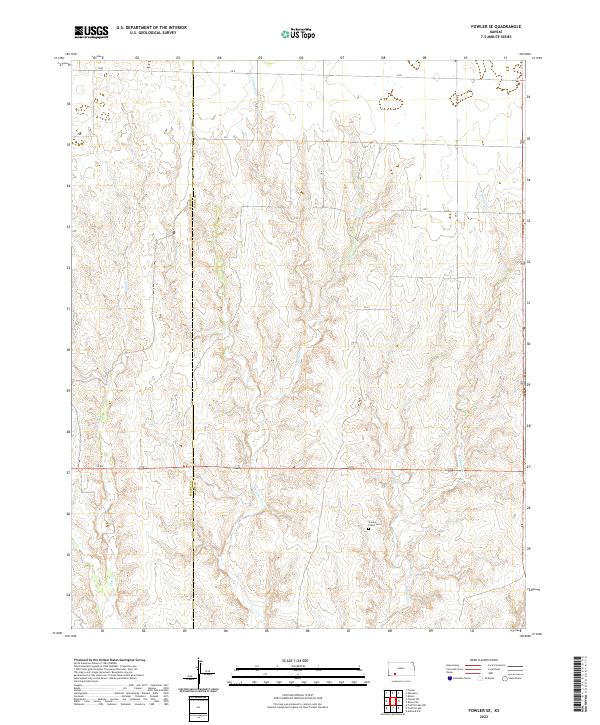
1967 Map of Fowler SE
USGS Topo · Published 1968About this map
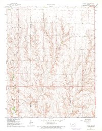
Old Indian Treaty Creek defines the western landscape of this portion of Meade and Clark counties, where the high plains of Southwest Kansas transition into a series of deeply carved drainage systems. This mid-1960s survey captures a rural environment organized around traditional land divisions, including Appleton, Vesta, Logan, and Fowler. The terrain is characterized by the complex branching of East Indian Creek, Johns Creek, and Guy Creek, which create a rugged breaks-style topography contrasting with the flatter agricultural uplands. A prominent modern addition to the landscape is a Pipeline that cuts across the southern sections, marking the intersection of resource infrastructure with the older ranching and farming layouts of the High Plains.
Find a feature on this map
11 named features on this map. Tap any name to fly to it.
Don’t see what you’re looking for? This feature index may not catch every label — zoom into the map to look around manually.
Map Details
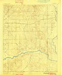
Editions of this 1967 Fowler SE Map
This is the sole edition of this map. No revisions or reprints were ever made.
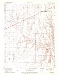
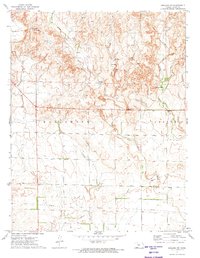
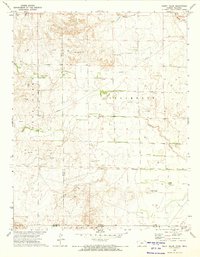
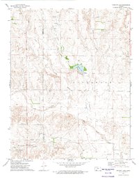
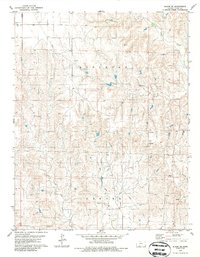
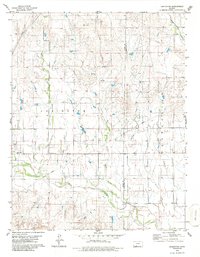
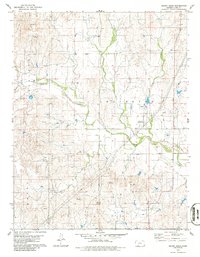
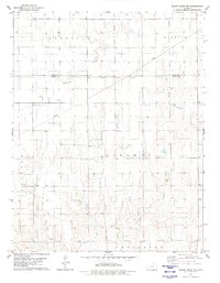
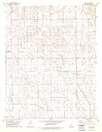
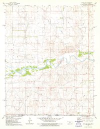
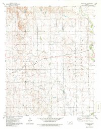
Historical Maps of Meade County Through Time
97 maps found
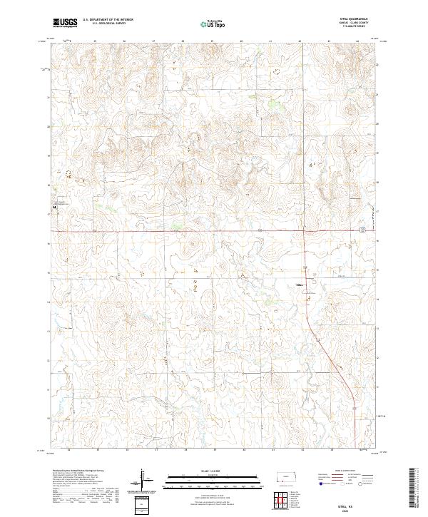
1894 Sitka
Clark County, KS
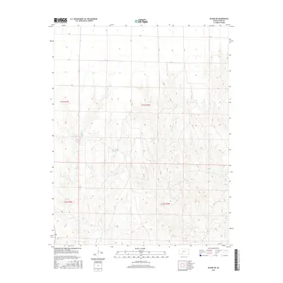
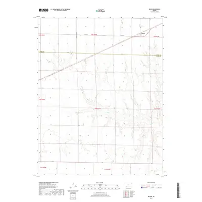
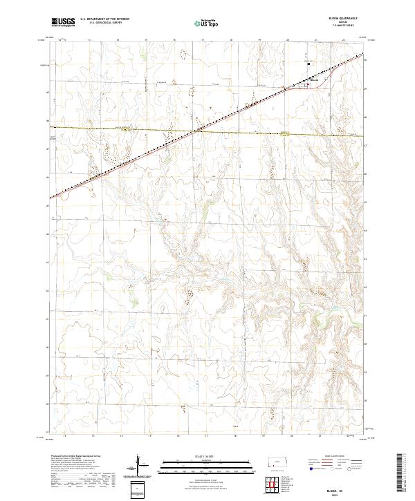
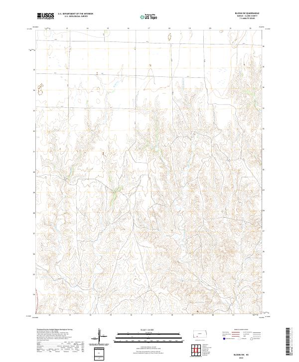
1967 Bloom
Clark County, KS
1967 Fowler SE
Clark County, KS
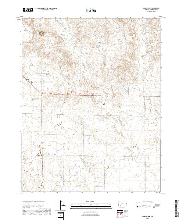
1972 Ashland NW
Clark County, KS
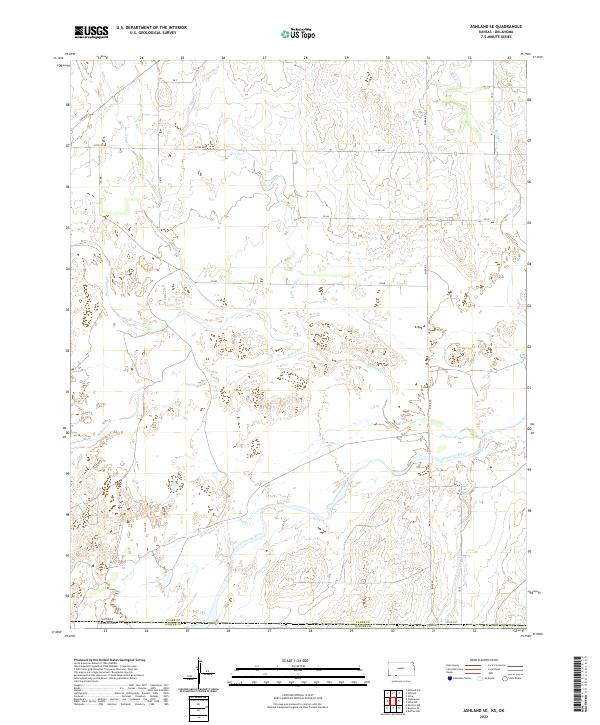
1972 Ashland SE
Clark County, KS
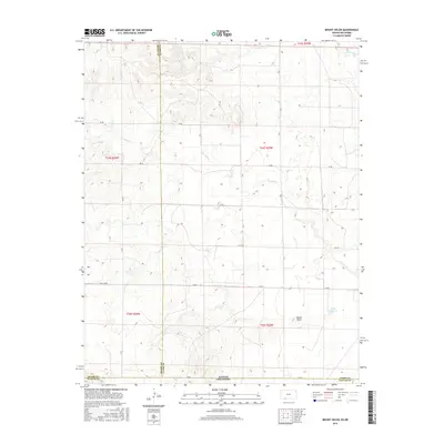
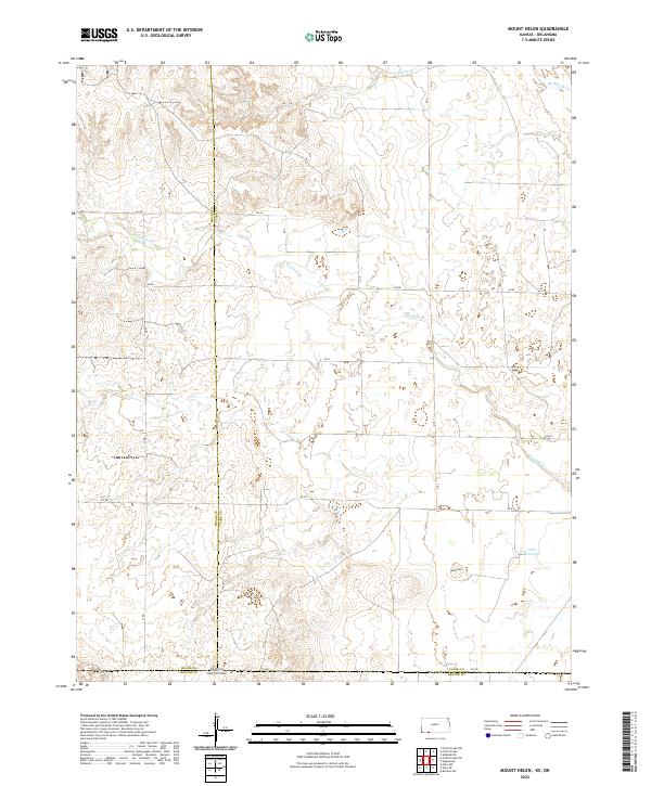
1972 Mount Helen
Clark County, KS
1972 Proffitt Lake
Clark County, KS
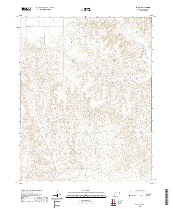
1979 Bloom SE
Clark County, KS
1979 Bloom SW
Clark County, KS
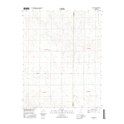
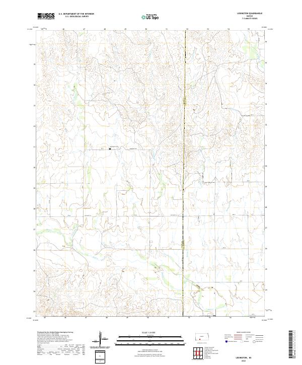
1979 Lexington
Clark County, KS
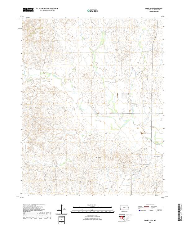
1979 Mount Jesus
Clark County, KS
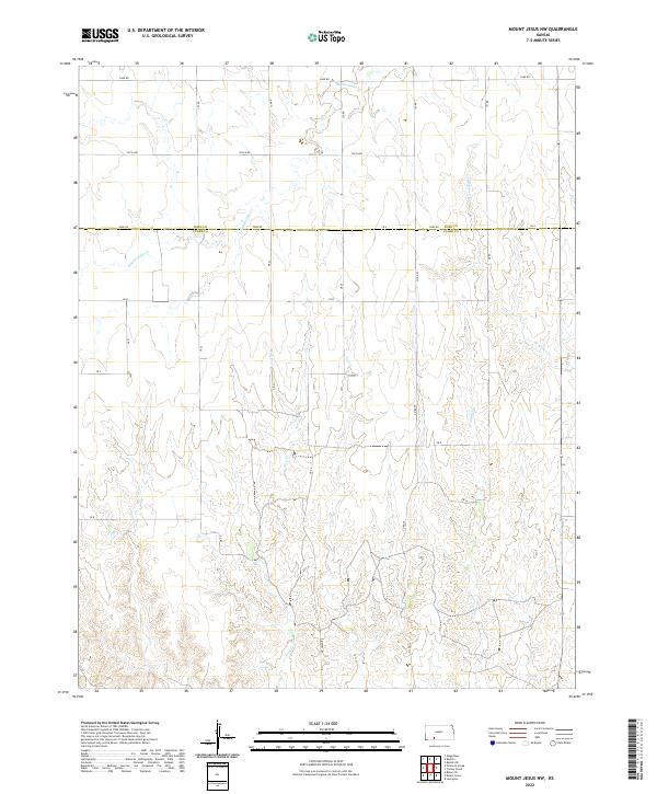
1979 Mount Jesus NW
Clark County, KS
1979 Simmons Creek
Clark County, KS
1979 Sitka
Clark County, KS
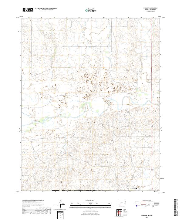
1979 Sitka SW
Clark County, KS
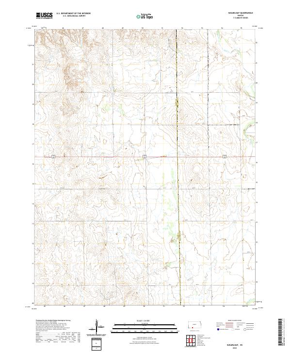
1979 Sugarloaf
Clark County, KS
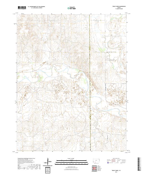
1979 Trout Creek
Clark County, KS
2009 Ashland NW
Clark County, KS
2009 Bloom
Clark County, KS
2009 Bloom SE
Clark County, KS
2009 Bloom SW
Clark County, KS
2009 Lexington
Clark County, KS
2009 Mount Jesus
Clark County, KS
2009 Mount Jesus NW
Clark County, KS
2009 Simmons Creek
Clark County, KS
2009 Sitka
Clark County, KS
2009 Sugarloaf
Clark County, KS
2010 Ashland SE
Clark County, KS
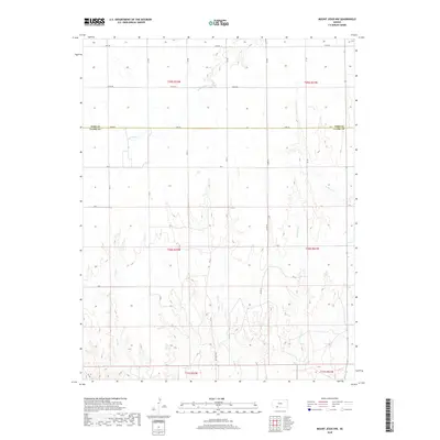
2010 Fowler SE
Clark County, KS
2010 Mount Helen
Clark County, KS
2010 Proffitt Lake
Clark County, KS
2010 Sitka SW
Clark County, KS
2010 Trout Creek
Clark County, KS
2012 Ashland NW
Clark County, KS
2012 Ashland SE
Clark County, KS
2012 Bloom
Clark County, KS
2012 Bloom SE
Clark County, KS
2012 Bloom SW
Clark County, KS
2012 Fowler SE
Clark County, KS
2012 Lexington
Clark County, KS
2012 Mount Helen
Clark County, KS
2012 Mount Jesus
Clark County, KS
2012 Mount Jesus NW
Clark County, KS
2012 Proffitt Lake
Clark County, KS
2012 Simmons Creek
Clark County, KS
2012 Sitka
Clark County, KS
2012 Sitka SW
Clark County, KS
2012 Sugarloaf
Clark County, KS
2012 Trout Creek
Clark County, KS
2015 Bloom
Clark County, KS
2015 Bloom SE
Clark County, KS
2015 Mount Jesus NW
Clark County, KS
2015 Sitka
Clark County, KS
2015 Sugarloaf
Clark County, KS
2015 Trout Creek
Clark County, KS
2016 Ashland NW
Clark County, KS
2016 Ashland SE
Clark County, KS
2016 Bloom SW
Clark County, KS

2016 Fowler SE
Clark County, KS
2016 Lexington
Clark County, KS
2016 Mount Helen
Clark County, KS
2016 Mount Jesus
Clark County, KS
2016 Proffitt Lake
Clark County, KS
2016 Simmons Creek
Clark County, KS
2016 Sitka SW
Clark County, KS
2018 Ashland NW
Clark County, KS
2018 Ashland SE
Clark County, KS
2018 Bloom
Clark County, KS
2018 Bloom SE
Clark County, KS
2018 Bloom SW
Clark County, KS
2018 Fowler SE
Clark County, KS
2018 Lexington
Clark County, KS
2018 Mount Helen
Clark County, KS
2018 Mount Jesus
Clark County, KS
2018 Mount Jesus NW
Clark County, KS
2018 Proffitt Lake
Clark County, KS
2018 Simmons Creek
Clark County, KS
2018 Sitka
Clark County, KS
2018 Sitka SW
Clark County, KS
2018 Sugarloaf
Clark County, KS
2018 Trout Creek
Clark County, KS
2022 Ashland NW
Clark County, KS
2022 Ashland SE
Clark County, KS
2022 Bloom
Clark County, KS
2022 Bloom SE
Clark County, KS
2022 Bloom SW
Clark County, KS
2022 Fowler SE
Clark County, KS
2022 Lexington
Clark County, KS
2022 Mount Helen
Clark County, KS
2022 Mount Jesus
Clark County, KS
2022 Mount Jesus NW
Clark County, KS
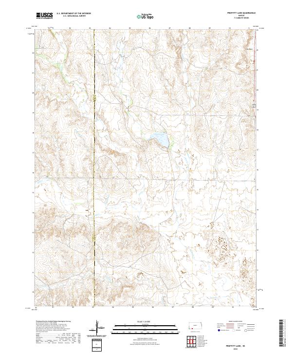
2022 Proffitt Lake
Clark County, KS
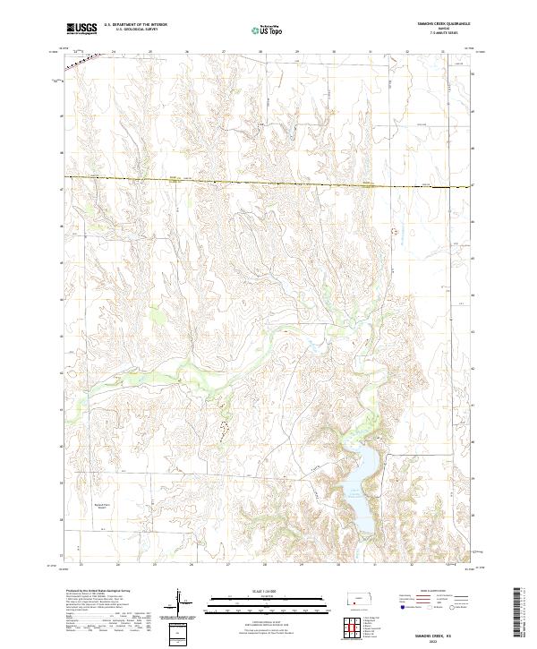
2022 Simmons Creek
Clark County, KS
2022 Sitka
Clark County, KS
2022 Sitka SW
Clark County, KS
2022 Sugarloaf
Clark County, KS
2022 Trout Creek
Clark County, KS