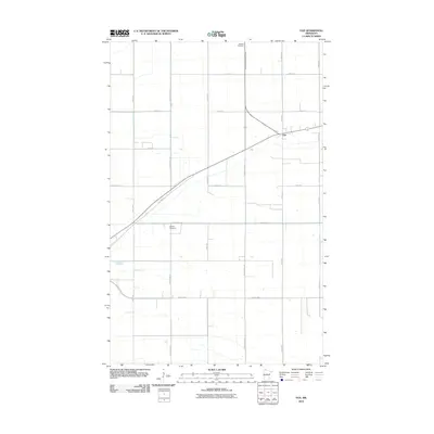
2010 Map of Fox
USGS Topo · Published 2010About this map
Fox sits at the junction of Old Hwy 11 and several local routes in this rural portion of Roseau County. The landscape is defined by the rigid grid of the Public Land Survey System, with roads like 290th St and 330th Ave marking the section lines across the flat agricultural terrain. This 2010 survey highlights the importance of managed hydrology in the region, prominently featuring the County Ditch Number Sixteen as it cuts across the northern fields. Genealogists will find the locations of Mellum Cemetery and Opdahl Cemetery particularly useful for tracing local family histories in this sparsely populated area of northern Minnesota. The map reflects a landscape dedicated to large-scale farming, where the original prairie has been systematically organized into a network of drainage ditches and county highways.
Find a feature on this map
19 named features on this map. Tap any name to fly to it.
Don’t see what you’re looking for? This feature index may not catch every label — zoom into the map to look around manually.
Map Details
Editions of this 2010 Fox Map
This is the sole edition of this map. No revisions or reprints were ever made.
Other maps of this area

1918 · Roseau
USGS Topo · 1:62,500

1918 · Garland
USGS Topo · 1:62,500

1918 · Greenbush
USGS Topo · 1:62,500

1919 · Badger
USGS Topo · 1:62,500

1952 · Thief River Falls
USGS Topo · 1:250,000

1954 · Roseau
USGS Topo · 1:250,000

1956 · Thief River Falls
USGS Topo · 1:250,000

1957 · Roseau
USGS Topo · 1:250,000

1957 · Thief River Falls
USGS Topo · 1:250,000

1958 · Roseau
USGS Topo · 1:250,000