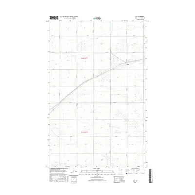
2016 Map of Fox
USGS Topo · Published 2016About this map
Fox stands as the central point of interest in this section of Roseau County, positioned along the diagonal route of Minnesota State Highway 11. The surrounding landscape is defined by the rigid grid of the Public Land Survey System, including the boundaries of t162n r41w and t161n r41w. The agricultural and drainage history of the region is evident through features like County Ditch Number Sixteen, which cuts a straight line through the northern sections, and the winding course of the S Br Two Rivers in the southwest corner. Local family history and genealogy interests center on the Opdahl Cem, a quiet landmark located just off 280th St. The map illustrates the intersection of these traditional survey lines with the modern road network, from Co Rd 115 to the expansive numbering of the 300th-series avenues.
Find a feature on this map
23 named features on this map. Tap any name to fly to it.
Don’t see what you’re looking for? This feature index may not catch every label — zoom into the map to look around manually.
Map Details
Editions of this 2016 Fox Map
This is the sole edition of this map. No revisions or reprints were ever made.
Other maps of this area

1918 · Roseau
USGS Topo · 1:62,500

1918 · Garland
USGS Topo · 1:62,500

1918 · Greenbush
USGS Topo · 1:62,500

1919 · Badger
USGS Topo · 1:62,500

1952 · Thief River Falls
USGS Topo · 1:250,000

1954 · Roseau
USGS Topo · 1:250,000

1956 · Thief River Falls
USGS Topo · 1:250,000

1957 · Roseau
USGS Topo · 1:250,000

1957 · Thief River Falls
USGS Topo · 1:250,000

1958 · Roseau
USGS Topo · 1:250,000