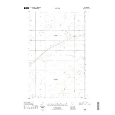
2019 Map of Fox
USGS Topo · Published 2019About this map
The small settlement of Fox sits along a diagonal corridor in the northwestern Minnesota landscape of Roseau County. This 2019 survey shows a region defined by a precise section-line grid of rural roads and the drainage systems essential to this agricultural prairie environment, including County Ditch Number Sixteen. Local genealogy and land history are centered near the historic Opdahl Cem, located along 300th Ave. To the south, the meandering course of the S-Br Two Rivers breaks the rigid geometric pattern of the surrounding township boundaries of t162n r41w and t161n r41w. The map preserves the specific network of county roads and named avenues, such as N Main St, that connect the isolated farmsteads and fields of this northern borderland community.
Find a feature on this map
26 named features on this map. Tap any name to fly to it.
Don’t see what you’re looking for? This feature index may not catch every label — zoom into the map to look around manually.
Map Details
Editions of this 2019 Fox Map
This is the sole edition of this map. No revisions or reprints were ever made.
Other maps of this area

1918 · Roseau
USGS Topo · 1:62,500

1918 · Garland
USGS Topo · 1:62,500

1918 · Greenbush
USGS Topo · 1:62,500

1919 · Badger
USGS Topo · 1:62,500

1952 · Thief River Falls
USGS Topo · 1:250,000

1954 · Roseau
USGS Topo · 1:250,000

1956 · Thief River Falls
USGS Topo · 1:250,000

1957 · Roseau
USGS Topo · 1:250,000

1957 · Thief River Falls
USGS Topo · 1:250,000

1958 · Roseau
USGS Topo · 1:250,000