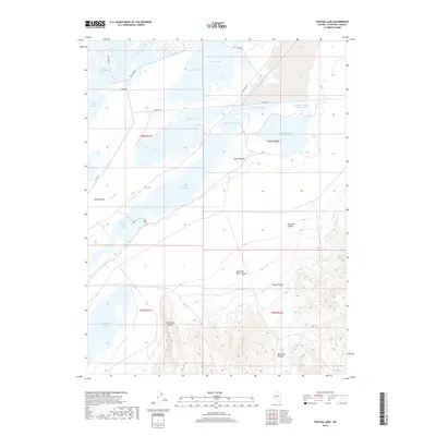
2018 Map of Foxtail Lake
USGS Topo · Published 2018About this map
Stillwater Marsh and a complex network of shallow basins dominate this Churchill County landscape, where the management of desert water is clearly visible through a system of man-made channels. The northern reach is defined by the Lead Lake Canal and Goose Lake Bypass, which feed into bodies like Goose Lake and Stillwater Point Reservoir. This hydraulic engineering supports the extensive wetland system, including Cattail Lake, Division Lake, and the twin basins of East Alkali Lake Number One and East Alkali Lake Number Two. To the south, the terrain rises sharply into the high desert, marked by Stillwater Point and several deep cuts including Mountain Well Canyon and Mud Hole Canyon. The contrast between the flat, irrigated pastures like West Pasture and the steep, rugged canyons to the southeast illustrates the environmental transition of the Lahontan Valley region.
Find a feature on this map
34 named features on this map. Tap any name to fly to it.
Don’t see what you’re looking for? This feature index may not catch every label — zoom into the map to look around manually.
Map Details
Editions of this 2018 Foxtail Lake Map
This is the sole edition of this map. No revisions or reprints were ever made.
Other maps of this area

1908 · Carson Sink
USGS Topo · 1:250,000

1910 · Carson Sink
USGS Topo · 1:250,000

1950 · Stillwater
USGS Topo · 1:62,500

1951 · Carson Lake
USGS Topo · 1:62,500

1957 · Reno
USGS Topo · 1:250,000

1959 · Reno
USGS Topo · 1:250,000

1960 · Reno
USGS Topo · 1:250,000

1969 · Cox Canyon
USGS Topo · 1:24,000

1969 · Table Mtn
USGS Topo · 1:24,000

1969 · Pintail Bay
USGS Topo · 1:24,000