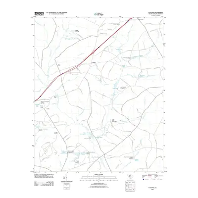
2011 Map of Foxtown
USGS Topo · Published 2011About this map
Camp Gravatt and the small settlement of Foxtown anchor this portion of Aiken County, where the landscape is defined by the headwaters and tributaries of the South Fork Edisto River. The map reveals a rural network of family-named ponds and bridges, such as Anderson Lake, Readys Pond, and Merritt Bridge, reflecting a community deeply tied to its local water sources and crossings. This documentation of the area in 2011 provides clear locations for several genealogical sites, including Cullum Cemetery, Plunkett Cemetery, and Courtney Cemetery. Significant recreational and community landmarks like Camp Long sit near water bodies like Camp Long Lake, while the northeastern corner shows the transition toward Oak Grove via roads like Old Shoals Rd.
Find a feature on this map
109 named features on this map. Tap any name to fly to it.
Don’t see what you’re looking for? This feature index may not catch every label — zoom into the map to look around manually.
Map Details
Editions of this 2011 Foxtown Map
This is the sole edition of this map. No revisions or reprints were ever made.
Other maps of this area

1920 · Aiken
USGS Topo · 1:48,000

1921 · Aiken
USGS Topo · 1:62,500

1943 · Aiken
USGS Topo · 1:62,500

1944 · Gilbert
USGS Topo · 1:62,500

1944 · Seivern
USGS Topo · 1:62,500

1954 · Augusta
USGS Topo · 1:250,000

1957 · Augusta
USGS Topo · 1:250,000

1958 · Augusta
USGS Topo · 1:250,000

1961 · Augusta
USGS Topo · 1:250,000

1962 · Augusta
USGS Topo · 1:250,000