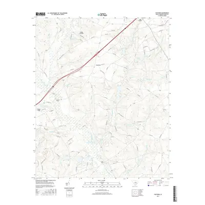
2017 Map of Foxtown
USGS Topo · Published 2017About this map
The S Fork Edisto River carves through this Aiken County landscape, defining a region where recreational camps and family cemeteries sit alongside industrial infrastructure. Camp Gravatt and Camp Long occupy significant acreage in the west, while the unincorporated settlement of Foxtown sits centrally along the local highway network. The area's agricultural and rural history is preserved in several small burial grounds, including Cullum Cem, Plunkett Cem, and Courtney Cem, providing vital reference points for genealogists. Water management is a dominant theme of the terrain, visible in the numerous impoundments like Cullums Pond and Readys Pond, and specifically in the Edisto Plant Settling Basin Hubs. Crossings such as Merritt Bridge and Cooks Bridge link the dispersed communities, while Oak Grove marks the northern extent of the quadrangle near the Gully Cr drainage.
Find a feature on this map
118 named features on this map. Tap any name to fly to it.
Don’t see what you’re looking for? This feature index may not catch every label — zoom into the map to look around manually.
Map Details
Editions of this 2017 Foxtown Map
This is the sole edition of this map. No revisions or reprints were ever made.
Other maps of this area

1920 · Aiken
USGS Topo · 1:48,000

1921 · Aiken
USGS Topo · 1:62,500

1943 · Aiken
USGS Topo · 1:62,500

1944 · Gilbert
USGS Topo · 1:62,500

1944 · Seivern
USGS Topo · 1:62,500

1954 · Augusta
USGS Topo · 1:250,000

1957 · Augusta
USGS Topo · 1:250,000

1958 · Augusta
USGS Topo · 1:250,000

1961 · Augusta
USGS Topo · 1:250,000

1962 · Augusta
USGS Topo · 1:250,000