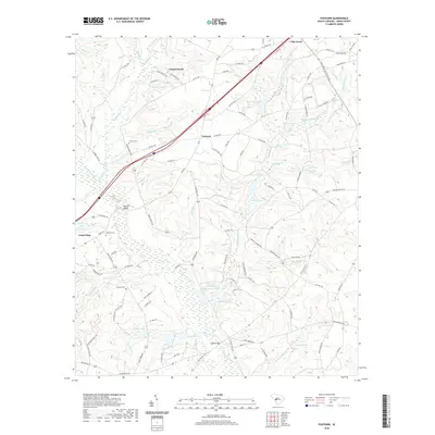
2020 Map of Foxtown
USGS Topo · Published 2020About this map
S Fork Edisto River snakes through the southern half of this Aiken County landscape, feeding into a network of tributaries like Beaverdam Br and Purvis Br. The terrain is defined by its many small impoundments and wetlands, including Cullums Pond, Snipes Pond, and Laughlin Pond. These water features likely supported local agriculture and industrial sites, such as the Edisto Plant Settling Basin (Tube).
Find a feature on this map
114 named features on this map. Tap any name to fly to it.
Don’t see what you’re looking for? This feature index may not catch every label — zoom into the map to look around manually.
Map Details
Editions of this 2020 Foxtown Map
This is the sole edition of this map. No revisions or reprints were ever made.
Other maps of this area

1920 · Aiken
USGS Topo · 1:48,000

1921 · Aiken
USGS Topo · 1:62,500

1943 · Aiken
USGS Topo · 1:62,500

1944 · Gilbert
USGS Topo · 1:62,500

1944 · Seivern
USGS Topo · 1:62,500

1954 · Augusta
USGS Topo · 1:250,000

1957 · Augusta
USGS Topo · 1:250,000

1958 · Augusta
USGS Topo · 1:250,000

1961 · Augusta
USGS Topo · 1:250,000

1962 · Augusta
USGS Topo · 1:250,000