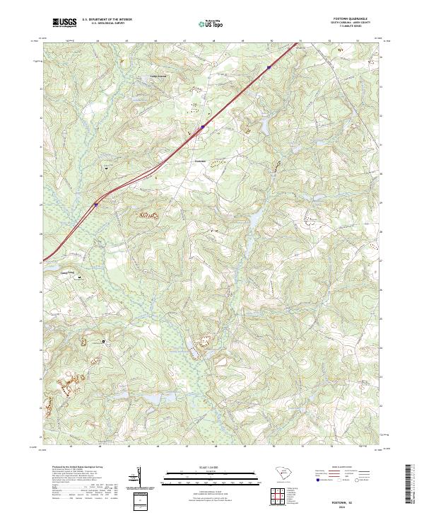
2024 Map of Foxtown
USGS Topo · Published 2024About this map
The South Fork Edisto River carves through the central portion of this Aiken County landscape, defining a wetland-rich corridor that supports the Edisto Plant Settling Basin Hubs. The terrain is marked by an extensive network of family-named water bodies and minor tributaries like McTier Creek and Beaverdam Branch. Settlement patterns are concentrated around the small community of Foxtown and recreational or educational sites such as Camp Gravatt and Camp Long.
Find a feature on this map
109 named features on this map. Tap any name to fly to it.
Don’t see what you’re looking for? This feature index may not catch every label — zoom into the map to look around manually.
Map Details
Editions of this 2024 Foxtown Map
This is the sole edition of this map. No revisions or reprints were ever made.
Historical Maps of Camp Long Through Time
18 maps found

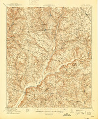
1920 Talatha
Aiken County, SC
1921 Talatha
Aiken County, SC

1943 Talatha
Aiken County, SC
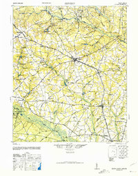
1944 Seivern
Aiken County, SC
1964 Aiken NW
Aiken County, SC
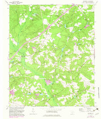
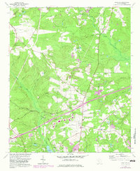
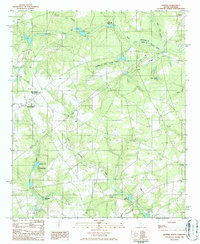
1964 Foxtown
Aiken County, SC
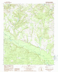
1964 Hollow Creek
Aiken County, SC
1964 Oakwood
Aiken County, SC
1965 New Ellenton SW
Aiken County, SC
1986 Seivern
Aiken County, SC
1988 Kitchings Mill
Aiken County, SC
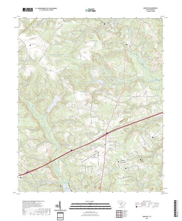
2024 Aiken NW
Aiken County, SC
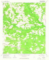
2024 Foxtown
Aiken County, SC
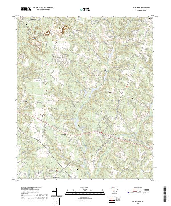
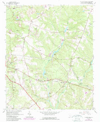
2024 Hollow Creek
Aiken County, SC
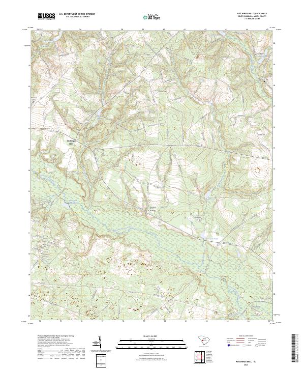
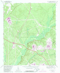
2024 Kitchings Mill
Aiken County, SC
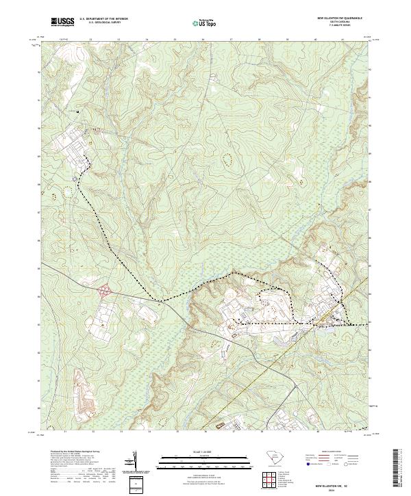
2024 New Ellenton SW
Aiken County, SC
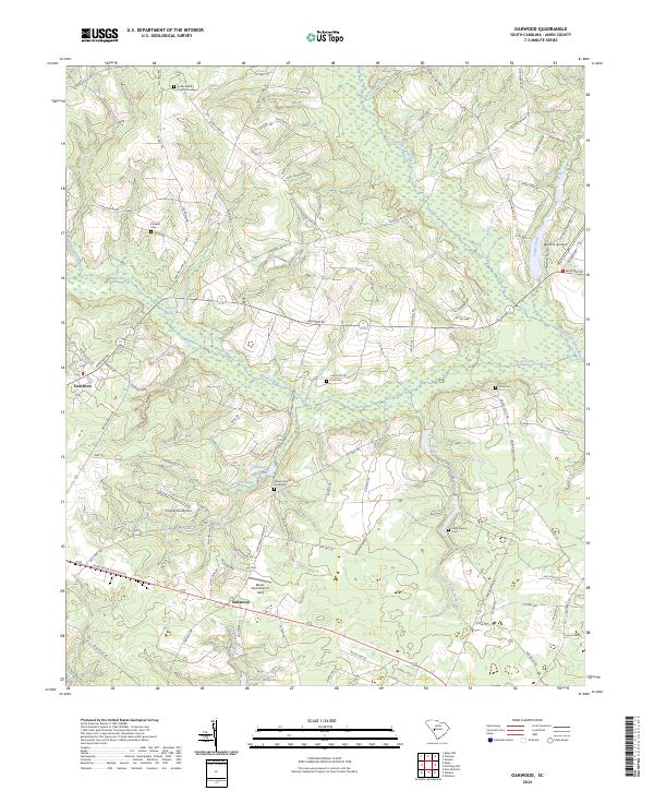
2024 Oakwood
Aiken County, SC
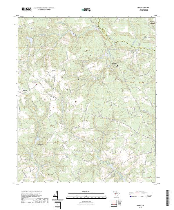
2024 Seivern
Aiken County, SC