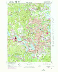
1965 Map of Framingham
USGS Topo · Published 1979About this map
Framingham and its surrounding communities are defined by a complex network of waterways and early industrial landmarks during this era of suburban expansion. The historic Wayside Inn and the nearby Carding Millpond and Grist Millpond anchor the northern landscape, reflecting the region's colonial and early manufacturing roots. The Sudbury River flows through the heart of the area, connecting established centers like Saxonville and Framingham Center.
Find a feature on this map
92 named features on this map. Tap any name to fly to it.
Don’t see what you’re looking for? This feature index may not catch every label — zoom into the map to look around manually.
Map Details
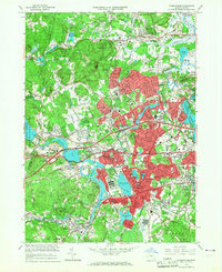
Editions of this 1965 Framingham Map
2 editions found
Other maps of this area

1886 · Blackstone
USGS Topo · 1:62,500

1886 · Framingham
USGS Topo · 1:62,500

1887 · Franklin
USGS Topo · 1:62,500

1887 · Marlboro
USGS Topo · 1:62,500

1889 · Marlboro
USGS Topo · 1:62,500

1889 · Blackstone
USGS Topo · 1:62,500

1889 · Franklin
USGS Topo · 1:62,500

1889 · Framingham
USGS Topo · 1:62,500

1893 · Franklin
USGS Topo · 1:62,500

1893 · Blackstone
USGS Topo · 1:62,500