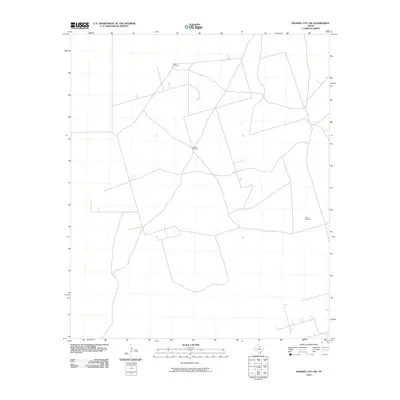
2010 Map of Frankel City SW
USGS Topo · Published 2010About this map
The vast Permian Basin landscape of Andrews County is defined here by the essential infrastructure of West Texas ranching and water management. Isolated landmarks such as Double Windmill, West Windmill, and South Windmill serve as the primary navigational anchors across an expansive network of secondary roads and trails. These features represent the critical role of groundwater extraction in sustaining life and industry in this arid region. The geometric pattern of roads suggests a landscape heavily influenced by both the traditional cattle industry and the systematic surveying required for regional resource development, providing a clear view of the area's layout at the beginning of the decade.
Find a feature on this map
3 named features on this map. Tap any name to fly to it.
Don’t see what you’re looking for? This feature index may not catch every label — zoom into the map to look around manually.
Map Details
Editions of this 2010 Frankel City SW Map
This is the sole edition of this map. No revisions or reprints were ever made.
Other maps of this area

1954 · Hobbs
USGS Topo · 1:250,000

1958 · Hobbs
USGS Topo · 1:250,000

1969 · Jal NE
USGS Topo · 1:24,000

1969 · Eunice NE
USGS Topo · 1:24,000

1969 · Eunice SE
USGS Topo · 1:24,000

1971 · Frankel City
USGS Topo · 1:24,000

1971 · Jumbo Hill
USGS Topo · 1:24,000

1971 · Figure Seven Ranch
USGS Topo · 1:24,000

1971 · Whalen Lake
USGS Topo · 1:24,000

1971 · Frankel City SW
USGS Topo · 1:24,000