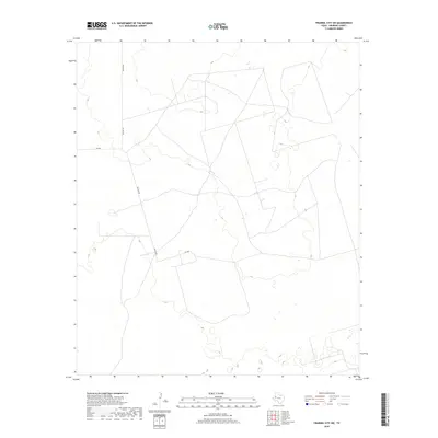
2019 Map of Frankel City SW
USGS Topo · Published 2019About this map
The arid and sparsely developed landscape of Andrews County is captured here in this 2019 survey. The terrain is primarily defined by a network of local thoroughfares including Nelson Rd, which serves as a primary north-south artery through this portion of the Texas plains. Apart from these transportation routes, such as Sw 200 and Sw 9001, the map reveals a highly specialized landscape typical of the Permian Basin, where the surface is marked by numerous small depressions and basins between subtle contour shifts. This cartographic study focuses on the infrastructure of land management and access in a region characterized by its open spaces and industrial utility rather than dense residential settlement.
Find a feature on this map
3 named features on this map. Tap any name to fly to it.
Don’t see what you’re looking for? This feature index may not catch every label — zoom into the map to look around manually.
Map Details
Editions of this 2019 Frankel City SW Map
This is the sole edition of this map. No revisions or reprints were ever made.
Other maps of this area

1954 · Hobbs
USGS Topo · 1:250,000

1958 · Hobbs
USGS Topo · 1:250,000

1969 · Jal NE
USGS Topo · 1:24,000

1969 · Eunice NE
USGS Topo · 1:24,000

1969 · Eunice SE
USGS Topo · 1:24,000

1971 · Frankel City
USGS Topo · 1:24,000

1971 · Jumbo Hill
USGS Topo · 1:24,000

1971 · Figure Seven Ranch
USGS Topo · 1:24,000

1971 · Whalen Lake
USGS Topo · 1:24,000

1971 · Frankel City SW
USGS Topo · 1:24,000