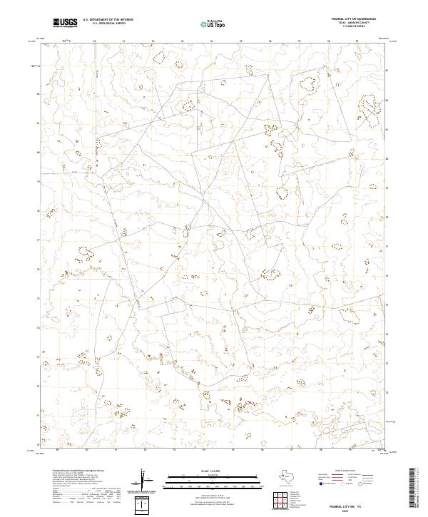
2022 Map of Frankel City SW
USGS Topo · Published 2022About this map
The remote West Texas terrain of Nelson Rd characterizes this part of Andrews County, captured during a period of modern land management. This corner of the Permian Basin exhibits a sparse, high-desert grid system defined by rural access routes like Sw 200 and Sw 9001. The landscape is marked by subtle topographic shifts and an extensive network of unnamed paths and industrial sites that reflect the region's enduring connection to energy extraction and ranching. The absence of traditional town centers highlights the utilitarian nature of the road network, which serves to connect isolated operations across the arid flats and depressions common to this section of the Llano Estacado.
Find a feature on this map
3 named features on this map. Tap any name to fly to it.
Don’t see what you’re looking for? This feature index may not catch every label — zoom into the map to look around manually.
Map Details
Editions of this 2022 Frankel City SW Map
This is the sole edition of this map. No revisions or reprints were ever made.
Other maps of this area

1954 · Hobbs
USGS Topo · 1:250,000

1958 · Hobbs
USGS Topo · 1:250,000

1969 · Jal NE
USGS Topo · 1:24,000

1969 · Eunice NE
USGS Topo · 1:24,000

1969 · Eunice SE
USGS Topo · 1:24,000

1971 · Frankel City
USGS Topo · 1:24,000

1971 · Jumbo Hill
USGS Topo · 1:24,000

1971 · Figure Seven Ranch
USGS Topo · 1:24,000

1971 · Whalen Lake
USGS Topo · 1:24,000

1971 · Frankel City SW
USGS Topo · 1:24,000