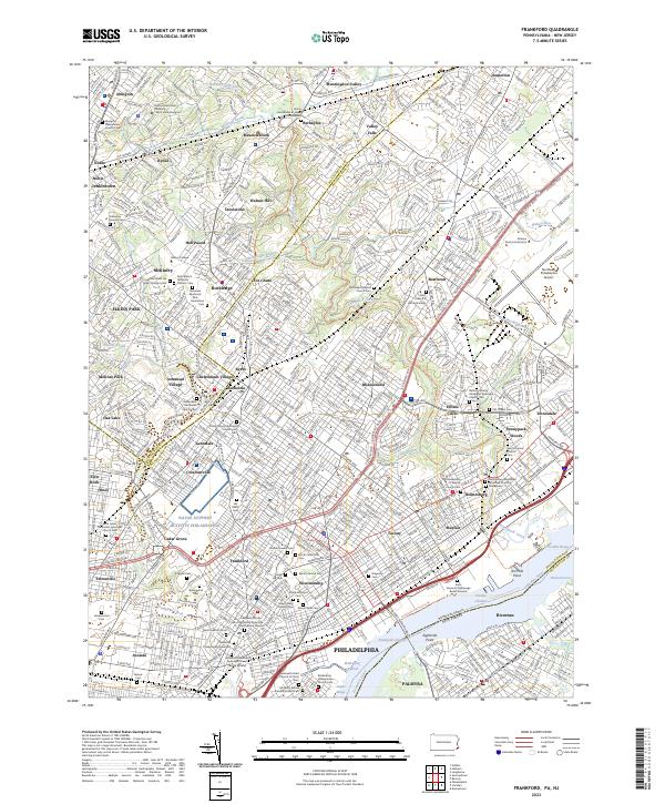
2023 Map of Frankford
USGS Topo · Published 2023About this map
The dense urban and suburban fabric of Northeast Philadelphia meets the industrial corridor of the Delaware River on this detailed 2023 survey. Neighborhoods such as Frankford, Bustleton, and Fox Chase are depicted alongside an extraordinary concentration of genealogical sites, including the Trinity Oxford Episcopal Churchyard Cem and Mount Sinai Cem. This map illustrates the transition from the consolidated residential grids of Rhawnhurst and Mayfair to the more open institutional grounds of Pennsylvania State University Penn State Abington and the Northeast Philadelphia Airport.
Find a feature on this map
115 named features on this map. Tap any name to fly to it.
Don’t see what you’re looking for? This feature index may not catch every label — zoom into the map to look around manually.
Map Details
Editions of this 2023 Frankford Map
This is the sole edition of this map. No revisions or reprints were ever made.
Historical Maps of Far Northeast Philadelphia Through Time
8 maps found
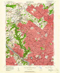
1950 Frankford
Philadelphia County, PA
1952 Germantown
Philadelphia County, PA
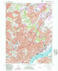
1967 Frankford
Philadelphia County, PA
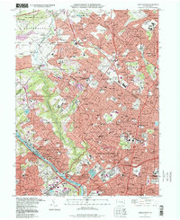
1967 Germantown
Philadelphia County, PA
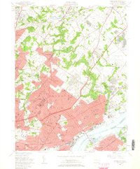
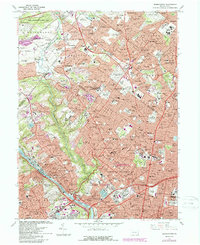
1997 Frankford
Philadelphia County, PA
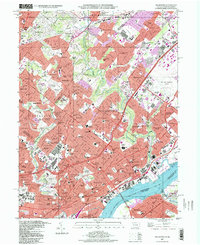
1997 Germantown
Philadelphia County, PA
2023 Frankford
Philadelphia County, PA
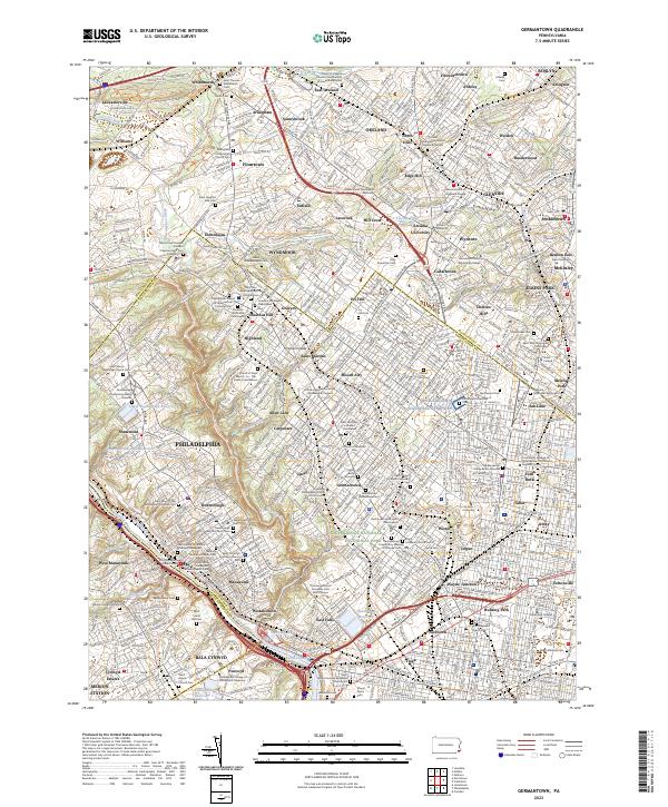
2023 Germantown
Philadelphia County, PA
Featured Locations
- Cinnaminson Township, NJ
- Philadelphia, PA
- Abington Township, PA
- Cheltenham Township, PA
- Lower Moreland Township, PA