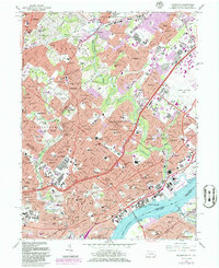
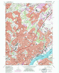
1967 Map of Frankford
USGS Topo · Published 1986About this map
Philadelphia and its surrounding suburban communities of Montgomery County are captured in high detail at a moment of significant mid-century density. The landscape is a complex grid of residential growth and institutional landmarks, anchored by major medical centers like Holy Redeemer Hospital and specialized facilities including the Shriners Hospital. Significant industrial and military infrastructure occupies the riverfront and transit corridors, notably the expansive Aviation Supply Office in Crescentville.
Find a feature on this map
145 named features on this map. Tap any name to fly to it.
Don’t see what you’re looking for? This feature index may not catch every label — zoom into the map to look around manually.
Map Details
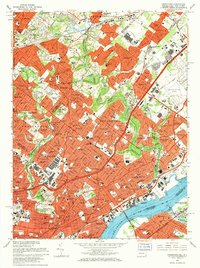
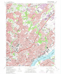
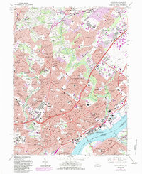
Editions of this 1967 Frankford Map
5 editions found
Other maps of this area

1888 · Mount Holly
USGS Topo · 1:62,500

1890 · Burlington
USGS Topo · 1:62,500

1891 · Philadelphia
USGS Topo · 1:62,500

1893 · Germantown
USGS Topo · 1:62,500

1893 · Burlington
USGS Topo · 1:62,500

1894 · Mount Holly
USGS Topo · 1:62,500

1894 · Philadelphia
USGS Topo · 1:62,500

1894 · Germantown
USGS Topo · 1:62,500

1896 · Germantown
USGS Topo · 1:62,500

1896 · Philadelphia
USGS Topo · 1:62,500
Featured Places
- Philadelphia, PA
- Abington Township, PA
- Cheltenham Township, PA
- Cinnaminson Township, NJ
- Lower Moreland Township, PA