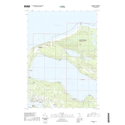
2019 Map of Frankfort
USGS Topo · Published 2019About this map
Sleeping Bear Dunes National Lakeshore dominates the northern landscape of this Benzie County survey, where the massive freshwater dunes meet Lake Michigan at Platte River Point. The geography is defined by a series of glacial lakes separated from the Great Lake by narrow ridges, most notably the expansive Crystal Lake. Along its southern shore, the harbor towns of Frankfort and Elberta flank Betsie Lake, showing the concentrated street grids and maritime orientation of these coastal communities. Local history is preserved in sites like the Crystal Lake Township Cem North and the Lutheran Cem, while the northern shore of Crystal Lake features established recreational and residential pockets such as Crystal Downs Country Club, Crystallia, and Pilgrim. The map also details the smaller interior waters of Long Lake, Rush Lake, and Loon Lake near Platte Bay.
Find a feature on this map
113 named features on this map. Tap any name to fly to it.
Don’t see what you’re looking for? This feature index may not catch every label — zoom into the map to look around manually.
Map Details
Editions of this 2019 Frankfort Map
This is the sole edition of this map. No revisions or reprints were ever made.
Other maps of this area

1954 · Manitowoc
USGS Topo · 1:250,000

1956 · Frankfort
USGS Topo · 1:62,500

1957 · Empire
USGS Topo · 1:62,500

1958 · Manitowoc
USGS Topo · 1:250,000

1976 · Frankfort SE
USGS Topo · 1:24,000

1976 · Frankfort NW
USGS Topo · 1:24,000

1976 · Frankfort SW
USGS Topo · 1:24,000
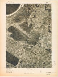
1976 · Frankfort NE
USGS Topo · 1:24,000
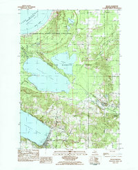
1983 · Beulah
USGS Topo · 1:25,000
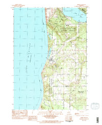
1983 · Empire
USGS Topo · 1:25,000