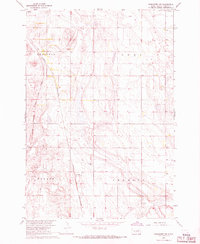
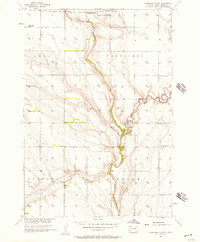
1967 Map of Frankfort SW
USGS Topo · Published 1968About this map
The settlement of Crandon and its surrounding agricultural townships define this late-1960s landscape in Spink County. The area is characterized by a dense network of field lines and section roads, reflecting the established township system of Redfield, Lodi, Tulare, and Crandon. A significant logistical corridor passes through the western portion of the map, where the Chicago Milwaukee St Paul and Pacific railroad runs parallel to a major Pipeline.
Find a feature on this map
15 named features on this map. Tap any name to fly to it.
Don’t see what you’re looking for? This feature index may not catch every label — zoom into the map to look around manually.
Map Details
Editions of this 1967 Frankfort SW Map
This is the sole edition of this map. No revisions or reprints were ever made.
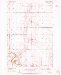
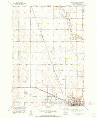
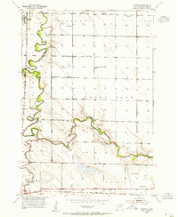
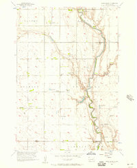
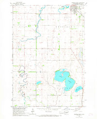
Other maps of this area

1895 · Byron
USGS Topo · 1:125,000

1899 · Redfield
USGS Topo · 1:125,000
1953 · Frankfort
USGS Topo · 1:24,000
1953 · Redfield North
USGS Topo · 1:24,000
1953 · Ashton
USGS Topo · 1:24,000

1953 · Huron
USGS Topo · 1:250,000

1954 · Huron
USGS Topo · 1:250,000
1956 · Glendale Colony
USGS Topo · 1:24,000
1956 · Spink Colony
USGS Topo · 1:24,000
1966 · Redfield South
USGS Topo · 1:24,000
Featured Places
- Redfield, Redfield Township
- Crandon, Crandon Township
- Lodi Township, SD
- Tulare Township, SD
- Redfield Township, SD