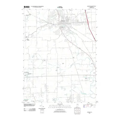
2010 Map of Franklin
USGS Topo · Published 2010About this map
Franklin and its surrounding agricultural landscape are defined by an intricate network of drainage ditches and creeks that support the local watershed. Significant water management is evident through features such as Canary Ditch, Hazelett Ditch, and Vandivier Ditch, which channel water toward Youngs Creek. This map reveals a community deeply rooted in its history, with numerous small burial grounds like Mulligans Cemetery and Tucker Cemetery scattered near rural homesteads and agricultural tracts.
Find a feature on this map
76 named features on this map. Tap any name to fly to it.
Don’t see what you’re looking for? This feature index may not catch every label — zoom into the map to look around manually.
Map Details
Editions of this 2010 Franklin Map
This is the sole edition of this map. No revisions or reprints were ever made.
Other maps of this area

1942 · Franklin
USGS Topo · 1:125,000

1942 · Columbus
USGS Topo · 1:125,000

1947 · Franklin
USGS Topo · 1:62,500

1948 · Franklin
USGS Topo · 1:24,000

1948 · Edinburg
USGS Topo · 1:24,000

1948 · Trafalgar
USGS Topo · 1:24,000

1948 · Nineveh
USGS Topo · 1:24,000

1948 · Marietta
USGS Topo · 1:24,000

1948 · Fruitdale
USGS Topo · 1:24,000

1950 · Franklin
USGS Topo · 1:62,500