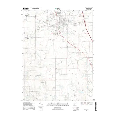
2016 Map of Franklin
USGS Topo · Published 2016About this map
The Franklin Coll campus and the surrounding city of Franklin anchor this 2016 survey of Johnson County, Indiana. The landscape is defined by the convergence of several waterways including Youngs Creek, Hurricane Cr, and Canary Ditch, which drain the agricultural plains of the t12n r4e and t12n r5e townships. The map documents a dense network of country cemeteries such as Hopewell Cem, Greenlawn Cem, and Mulligans Cem, providing invaluable data for genealogists tracing local families across the small settlements of Hopewell, Mount Pleasant, and Amity.
Find a feature on this map
61 named features on this map. Tap any name to fly to it.
Don’t see what you’re looking for? This feature index may not catch every label — zoom into the map to look around manually.
Map Details
Editions of this 2016 Franklin Map
This is the sole edition of this map. No revisions or reprints were ever made.
Other maps of this area

1942 · Franklin
USGS Topo · 1:125,000

1942 · Columbus
USGS Topo · 1:125,000

1947 · Franklin
USGS Topo · 1:62,500

1948 · Franklin
USGS Topo · 1:24,000

1948 · Edinburg
USGS Topo · 1:24,000

1948 · Trafalgar
USGS Topo · 1:24,000

1948 · Nineveh
USGS Topo · 1:24,000

1948 · Marietta
USGS Topo · 1:24,000

1948 · Fruitdale
USGS Topo · 1:24,000

1950 · Franklin
USGS Topo · 1:62,500