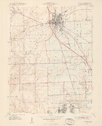
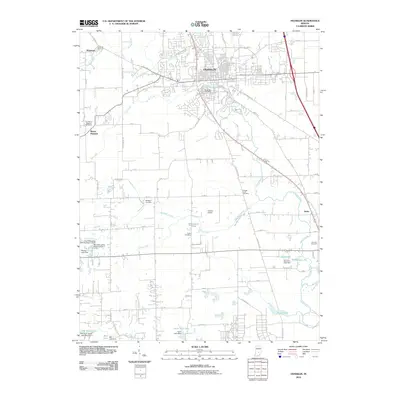
1948 Map of Franklin
USGS Topo · Published 1948About this map
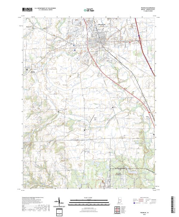
The city of Franklin serves as the focal point of this late-1940s landscape, characterized by a dense network of transportation and social infrastructure. Educational and civic life is anchored by Franklin College and the Masonic Home, while healthcare for the region is centered at the Johnson County Memorial Hospital and the nearby County Home. The influence of the Penna RR and N Y C RR defines the urban grid, supporting local industry and the transit of goods through Johnson County.
Find a feature on this map
47 named features on this map. Tap any name to fly to it.
Don’t see what you’re looking for? This feature index may not catch every label — zoom into the map to look around manually.
Map Details
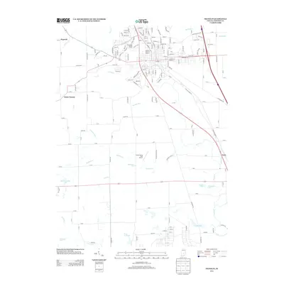
Editions of this 1948 Franklin Map
2 editions found
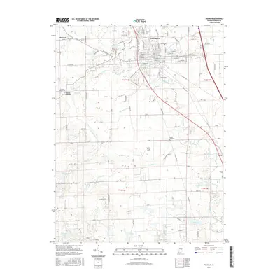
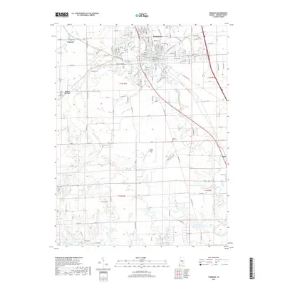
Historical Maps of Franklin Through Time
10 maps found

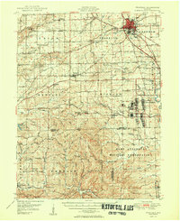
1942 Franklin
Johnson County, IN

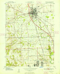
1947 Franklin
Johnson County, IN
1948 Franklin
Johnson County, IN
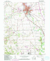
1950 Franklin
Johnson County, IN
1961 Franklin
Johnson County, IN
2010 Franklin
Johnson County, IN
2013 Franklin
Johnson County, IN
2016 Franklin
Johnson County, IN
2019 Franklin
Johnson County, IN
2022 Franklin
Johnson County, IN