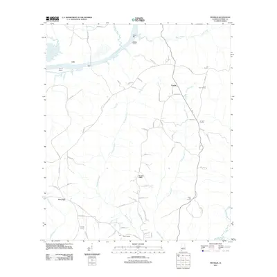
2011 Map of Franklin
USGS Topo · Published 2011About this map
Alabama River crossings and small rural settlements define this portion of Monroe County. Near the bend in the river, legacy landmarks like Davis Ferry, Leggett Landing, and Johnson Woodyard Landing point to the historic importance of the waterway for transport and timber commerce. Inland, the landscape is punctuated by several small communities, most notably Franklin and the colorfully named Scratch Ankle, which are connected by a network of local roads such as County Rd-17 and River Ridge Rd.
Find a feature on this map
67 named features on this map. Tap any name to fly to it.
Don’t see what you’re looking for? This feature index may not catch every label — zoom into the map to look around manually.
Map Details
Editions of this 2011 Franklin Map
This is the sole edition of this map. No revisions or reprints were ever made.
Other maps of this area

1953 · Andalusia
USGS Topo · 1:250,000

1957 · Andalusia
USGS Topo · 1:250,000

1972 · Monroeville
USGS Topo · 1:24,000

1972 · Natchez
USGS Topo · 1:24,000

1972 · Franklin
USGS Topo · 1:24,000

1972 · Mexia
USGS Topo · 1:24,000

1972 · Claiborne
USGS Topo · 1:24,000

1972 · Chance
USGS Topo · 1:24,000

1973 · Hybart
USGS Topo · 1:24,000

1973 · Lower Peach Tree
USGS Topo · 1:24,000