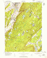
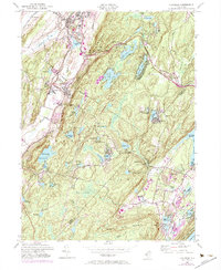
1954 Map of Franklin
USGS Topo · Published 1956About this map
Industrial roots and mountain recreation converge in this 1954 revision of the Highlands terrain. The heavy industrial footprint of the Sterling Hill area and nearby Franklin is balanced by an extensive network of reservoirs and vacation camps. The landscape is defined by the Lehigh and Hudson River RR and the New York Susquehanna and Western RR, which facilitated the movement of minerals and people through the valley.
Find a feature on this map
77 named features on this map. Tap any name to fly to it.
Don’t see what you’re looking for? This feature index may not catch every label — zoom into the map to look around manually.
Map Details
Editions of this 1954 Franklin Map
6 editions found
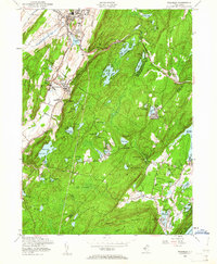
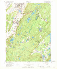
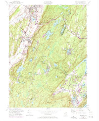
Other maps of this area

1888 · Franklin
USGS Topo · 1:62,500

1888 · Morristown
USGS Topo · 1:62,500

1888 · Lake Hopatcong
USGS Topo · 1:62,500

1891 · Greenwood Lake
USGS Topo · 1:62,500

1893 · Greenwood Lake
USGS Topo · 1:62,500

1894 · Morristown
USGS Topo · 1:62,500

1894 · Lake Hopatcong
USGS Topo · 1:62,500

1894 · Franklin
USGS Topo · 1:62,500

1897 · Franklin
USGS Topo · 1:62,500

1898 · Lake Hopatcong
USGS Topo · 1:62,500
Featured Places
- West Milford, NJ
- Vernon Township, NJ
- Rockaway Township, NJ
- Sparta Township, NJ
- Franklin, Hardyston Township