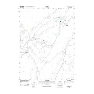
2010 Map of Frankstown
USGS Topo · Published 2010About this map
The Frankstown Branch Juniata River dictates the settlement patterns and industrial history of this Blair County landscape, carving through the valley floor beneath Loop Mountain. Small hamlets and crossroads such as Geeseytown, Reese, and Horrell dot the riverbanks and mountain gaps, reflecting a legacy of 19th-century agricultural and industrial expansion. The presence of Barbara Mines near Clappertown and the community of Oreminia points to the region's iron ore heritage, which was central to the early development of the Juniata Valley.
Find a feature on this map
52 named features on this map. Tap any name to fly to it.
Don’t see what you’re looking for? This feature index may not catch every label — zoom into the map to look around manually.
Map Details
Editions of this 2010 Frankstown Map
This is the sole edition of this map. No revisions or reprints were ever made.
Other maps of this area

1901 · Huntingdon
USGS Topo · 1:62,500

1902 · Hollidaysburg
USGS Topo · 1:62,500

1903 · Hollidaysburg
USGS Topo · 1:62,500

1904 · Huntingdon
USGS Topo · 1:62,500

1920 · Altoona
USGS Topo · 1:62,500

1922 · Altoona
USGS Topo · 1:62,500

1923 · Tyrone
USGS Topo · 1:62,500

1929 · Tyrone
USGS Topo · 1:48,000

1933 · Tyrone
USGS Topo · 1:62,500

1946 · Tyrone
USGS Topo · 1:62,500
Featured Places
- Frankstown Township, PA
- Hollidaysburg, PA
- Upper Reese, Frankstown Township
- Royer, Woodbury Township
- Clappertown, Huston Township