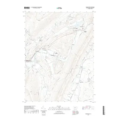
2019 Map of Frankstown
USGS Topo · Published 2019About this map
The Frankstown Branch Juniata River carves a central path through this Blair County landscape, defining the valley between the steep ridges of Brush Mtn and Lock Mtn. Settlement is concentrated along the water and historical transport corridors, with Frankstown and Geeseytown serving as established hubs. The map reveals a high density of small family and community burial sites, such as the Markey Shinnefelt Burial Ground and the Claycomb Burial Site, which provide significant genealogical data for researchers of the region's early families. To the north, the Canoe Creek Lake area and the valley of Turkey Valley show a transition toward recreation and conservation. Small industrial footprints remain evident at Oreminea, where the Mines Methodist Church stands near old workings, while the presence of the White Bridge and crossings like Linds Crossing highlight the river's historical role in local connectivity.
Find a feature on this map
107 named features on this map. Tap any name to fly to it.
Don’t see what you’re looking for? This feature index may not catch every label — zoom into the map to look around manually.
Map Details
Editions of this 2019 Frankstown Map
This is the sole edition of this map. No revisions or reprints were ever made.
Other maps of this area

1901 · Huntingdon
USGS Topo · 1:62,500

1902 · Hollidaysburg
USGS Topo · 1:62,500

1903 · Hollidaysburg
USGS Topo · 1:62,500

1904 · Huntingdon
USGS Topo · 1:62,500

1920 · Altoona
USGS Topo · 1:62,500

1922 · Altoona
USGS Topo · 1:62,500

1923 · Tyrone
USGS Topo · 1:62,500

1929 · Tyrone
USGS Topo · 1:48,000

1933 · Tyrone
USGS Topo · 1:62,500

1946 · Tyrone
USGS Topo · 1:62,500
Featured Places
- Frankstown Township, PA
- Hollidaysburg, PA
- Upper Reese, Frankstown Township
- Royer, Woodbury Township
- Clappertown, Huston Township