2022 Map of Fraser
USGS Topo · Published 2022About this map
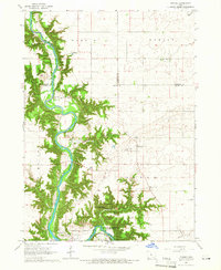
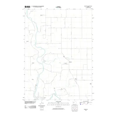
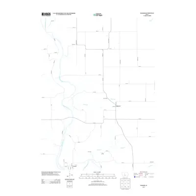
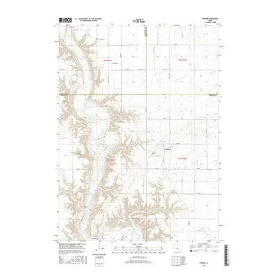
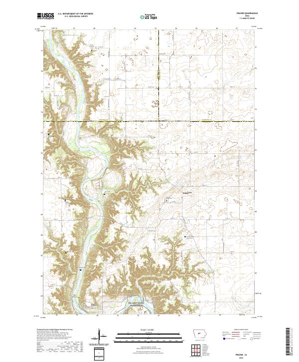
The Des Moines River carves a deep, winding valley through this central Iowa landscape, creating a stark contrast to the surrounding agricultural plateaus. At the southern bend of the river lies Fraser, while further east on the higher ground sits Ridgeport. This area is notably dense with small family and township burial grounds, providing a significant resource for genealogical research. These sites include the Hardin Township Cem, Bethel Owen Cem, and the Boone County Farm Cem. The network of secondary roads like Co HWY d64 and Nature Rd provides access to the dissected terrain where tributaries such as Mineral Br and Elkhorn Cr meet the primary river valley. The map clearly delineates the intersection of Webster, Hamilton, and Boone counties, capturing the modern rural infrastructure and land use patterns of the region.
Find a feature on this map
62 named features on this map. Tap any name to fly to it.
Don’t see what you’re looking for? This feature index may not catch every label — zoom into the map to look around manually.
Map Details
Editions of this 2022 Fraser Map
This is the sole edition of this map. No revisions or reprints were ever made.
Historical Maps of Fraser Through Time
6 maps found