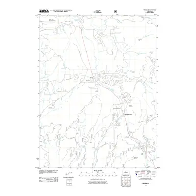
2011 Map of Fraser
USGS Topo · Published 2011About this map
The Fraser River valley serves as the central corridor for this 2011 survey of Grand County, showing a landscape defined by winter recreation and water management. The towns of Fraser, Tabernash, and Winter Park are connected by a network of drainage and transportation, most notably where the Moffat Tunnel and its West Portal anchor the southern end of the map. Significant recreational areas such as the Winter Park Ski Area and Idlewild Ski Area indicate the region's modern economic shift, while historical roots are preserved at Fraser Cemetery and Cozens Cemetery.
Find a feature on this map
82 named features on this map. Tap any name to fly to it.
Don’t see what you’re looking for? This feature index may not catch every label — zoom into the map to look around manually.
Map Details
Editions of this 2011 Fraser Map
This is the sole edition of this map. No revisions or reprints were ever made.
Other maps of this area

1905 · Central City
USGS Topo · 1:62,500

1910 · Central City
USGS Topo · 1:62,500

1912 · Central City
USGS Topo · 1:62,500

1915 · Longs Peak
USGS Topo · 1:125,000

1919 · Rocky Mountain National Park
USGS Topo · 1:125,000

1924 · Fraser
USGS Topo · 1:62,500

1926 · Fraser
USGS Topo · 1:62,500

1953 · Denver
USGS Topo · 1:250,000

1954 · Greeley
USGS Topo · 1:250,000

1957 · Denver
USGS Topo · 1:250,000