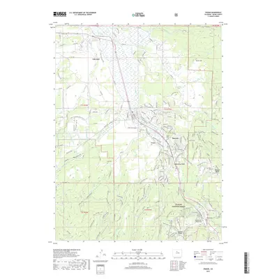
2019 Map of Fraser
USGS Topo · Published 2019About this map
The Fraser River valley serves as the central corridor for this 2019 survey, illustrating the convergence of historical mountain transit and modern recreational development. Following the path of the Moffat Road, the map documents the critical engineering of the Moffat Tunnel and Arrow Tunnel, which facilitated passage through the Continental Mountains. Settlement patterns are well-defined, ranging from the established town of Fraser to the outlying communities of Tabernash and Maryvale.
Find a feature on this map
160 named features on this map. Tap any name to fly to it.
Don’t see what you’re looking for? This feature index may not catch every label — zoom into the map to look around manually.
Map Details
Editions of this 2019 Fraser Map
This is the sole edition of this map. No revisions or reprints were ever made.
Other maps of this area

1905 · Central City
USGS Topo · 1:62,500

1910 · Central City
USGS Topo · 1:62,500

1912 · Central City
USGS Topo · 1:62,500

1915 · Longs Peak
USGS Topo · 1:125,000

1919 · Rocky Mountain National Park
USGS Topo · 1:125,000

1924 · Fraser
USGS Topo · 1:62,500

1926 · Fraser
USGS Topo · 1:62,500

1953 · Denver
USGS Topo · 1:250,000

1954 · Greeley
USGS Topo · 1:250,000

1957 · Denver
USGS Topo · 1:250,000