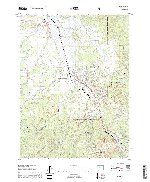
2022 Map of Fraser
USGS Topo · Published 2022About this map
The Fraser River valley serves as the central artery for this portion of Grand County, anchoring a corridor of mountain settlements from Tabernash in the north through Fraser, Maryvale, and Hideaway Park to Winter Park at the edge of the Arapaho National Forest. The landscape is defined by its complex water management and high-altitude topography, featuring an intricate network of irrigation and water transport including the Saint Louis Ditch, Saint Louis Number 2 Ditch, and Crooked Cr Supply Ditch. Significant genealogical markers are found at the Fraser Cem and Cozens Ranch Cem, reflecting the early ranching history of the valley, while the southern reaches of the map climb toward the Continental Mountains. This survey documents the modern intersection of recreational development and historical infrastructure, from the Fraser-To-Granby Trl to the various aqueducts and creek systems like Ranch Creek and Elk Creek.
Find a feature on this map
207 named features on this map. Tap any name to fly to it.
Don’t see what you’re looking for? This feature index may not catch every label — zoom into the map to look around manually.
Map Details
Editions of this 2022 Fraser Map
This is the sole edition of this map. No revisions or reprints were ever made.
Other maps of this area

1905 · Central City
USGS Topo · 1:62,500

1910 · Central City
USGS Topo · 1:62,500

1912 · Central City
USGS Topo · 1:62,500

1915 · Longs Peak
USGS Topo · 1:125,000

1919 · Rocky Mountain National Park
USGS Topo · 1:125,000

1924 · Fraser
USGS Topo · 1:62,500

1926 · Fraser
USGS Topo · 1:62,500

1953 · Denver
USGS Topo · 1:250,000

1954 · Greeley
USGS Topo · 1:250,000

1957 · Denver
USGS Topo · 1:250,000