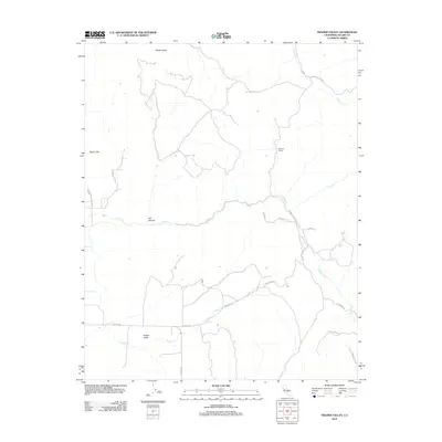
2012 Map of Frazier Valley
USGS Topo · Published 2012About this map
Frazier Valley and the surrounding foothill terrain of Tulare County are documented in this 2012 survey, revealing a landscape defined by seasonal watercourses and upland ridges. The drainage patterns of Yokohl Cr, Lewis Cr, and Frazier Cr carve through the area, descending from elevations such as the Rocky Hills and the slopes of Oat Canyon. This map captures a transition between the agricultural floor of the Central Valley and the rising slopes of the Sierra Nevada foothills, where small settlements like Spanish Camp and the broader Yokohl Valley sit among a network of local routes including Avenue 196 and Yokohl Valley Dr. The map provides a clear look at the modern rural residential development and land use in this part of California just after the turn of the twenty-first century.
Find a feature on this map
22 named features on this map. Tap any name to fly to it.
Don’t see what you’re looking for? This feature index may not catch every label — zoom into the map to look around manually.
Map Details
Editions of this 2012 Frazier Valley Map
This is the sole edition of this map. No revisions or reprints were ever made.
Other maps of this area

1904 · Kaweah
USGS Topo · 1:125,000

1909 · Kaweah
USGS Topo · 1:125,000

1925 · Rocky Hill
USGS Topo · 1:31,680

1927 · Rocky Hill
USGS Topo · 1:31,680

1928 · Lindsay
USGS Topo · 1:31,680

1929 · Porterville
USGS Topo · 1:31,680

1937 · Kaweah
USGS Topo · 1:125,000
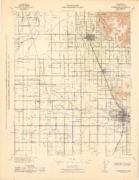
1942 · Porterville
USGS Topo · 1:62,500

1948 · Fresno
USGS Topo · 1:250,000
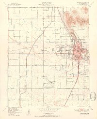
1951 · Porterville
USGS Topo · 1:24,000