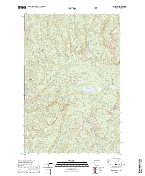
2024 Map of Fred Burr Lake
USGS Topo · Published 2024About this map
Deerlodge National Forest encompasses this high-altitude landscape within the Flint Creek Range, where drainage patterns define the local geography. The settlement of Rumsey is positioned at the base of Rumsey Mtn, connected to the interior by Rumsey Rd. This area is characterized by a high concentration of alpine water bodies, including Fred Burr Lake and the clustered Copper Cr Lakes near Sidney Lake.
Find a feature on this map
52 named features on this map. Tap any name to fly to it.
Don’t see what you’re looking for? This feature index may not catch every label — zoom into the map to look around manually.
Map Details
Editions of this 2024 Fred Burr Lake Map
This is the sole edition of this map. No revisions or reprints were ever made.
Other maps of this area
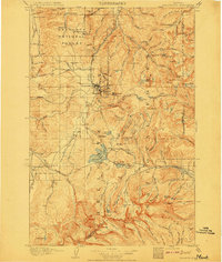
1908 · Philipsburg
USGS Topo · 1:125,000

1947 · Butte
USGS Topo · 1:250,000
1958 · Butte
USGS Topo · 1:250,000
1960 · Butte
USGS Topo · 1:250,000
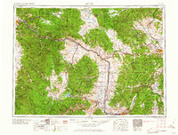
1962 · Butte
USGS Topo · 1:250,000
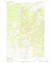
1971 · Henderson Mountain
USGS Topo · 1:24,000
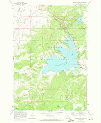
1971 · Georgetown Lake
USGS Topo · 1:24,000
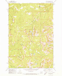
1971 · Pikes Peak
USGS Topo · 1:24,000
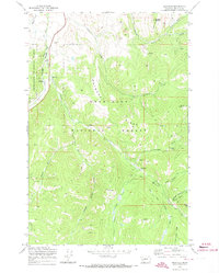
1971 · Maxville
USGS Topo · 1:24,000
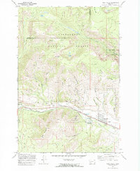
1971 · West Valley
USGS Topo · 1:24,000