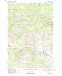
1971 Map of West Valley
USGS Topo · Published 1973About this map
The Butte Anaconda and Pacific railroad cuts a prominent path across this landscape, following the course of Warm Springs Creek through the valley floor. In the early 1970s, the small communities of West Valley and Stump Town served as anchors for this industrial corridor, which was heavily shaped by resource extraction and transit. Evidence of the region's mining heritage is found in numerous Mines and Prospects scattered across Stucky Ridge and the slopes of Olson Mountain.
Find a feature on this map
40 named features on this map. Tap any name to fly to it.
Don’t see what you’re looking for? This feature index may not catch every label — zoom into the map to look around manually.
Map Details
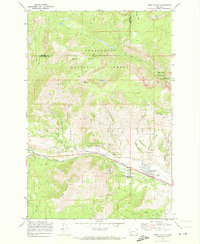
Editions of this 1971 West Valley Map
2 editions found
Other maps of this area

1889 · Helena
USGS Topo · 1:250,000

1893 · Helena
USGS Topo · 1:250,000

1899 · Helena
USGS Topo · 1:250,000

1903 · Helena
USGS Topo · 1:250,000

1908 · Philipsburg
USGS Topo · 1:125,000

1947 · Butte
USGS Topo · 1:250,000

1958 · Butte
USGS Topo · 1:250,000

1960 · Butte
USGS Topo · 1:250,000

1961 · Anaconda
USGS Topo · 1:62,500

1962 · Butte
USGS Topo · 1:250,000