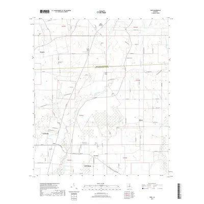
2018 Map of Fred
USGS Topo · Published 2018About this map
The Comite River meanders southward through the transition from East Feliciana Parish into East Baton Rouge Parish, anchoring a rural landscape defined by long-established family landholdings and small settlements. The area around Slaughter and Central is dotted with numerous burial grounds of significant genealogical interest, including Strangers Home Cem, Overton Cem, and Mount Holly Cem. These sites, alongside larger holdings like the Country Breeze Airport, suggest a community structure where residential growth has integrated with traditional southern Louisiana farmsteads.
Find a feature on this map
87 named features on this map. Tap any name to fly to it.
Don’t see what you’re looking for? This feature index may not catch every label — zoom into the map to look around manually.
Map Details
Editions of this 2018 Fred Map
This is the sole edition of this map. No revisions or reprints were ever made.
Other maps of this area

1906 · Bayou Sara
USGS Topo · 1:125,000

1939 · Zachary
USGS Topo · 1:62,500

1942 · Pride
USGS Topo · 1:31,680

1942 · Watson
USGS Topo · 1:31,680

1945 · Jackson
USGS Topo · 1:31,680

1946 · Clinton
USGS Topo · 1:31,680

1949 · Bluff Creek
USGS Topo · 1:31,680

1953 · Comite
USGS Topo · 1:24,000
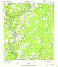
1954 · Watson
USGS Topo · 1:24,000
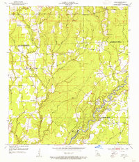
1954 · Pride
USGS Topo · 1:24,000