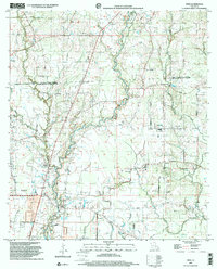
1998 Map of Fred
USGS Topo · Published 2002About this map
Comite River and its numerous tributaries, including Little Bayou and Redwood Creek, define the landscape of East Feliciana and East Baton Rouge Parishes as it stood in the late 20th century. The settlement at Zachary and the smaller community of Fred anchor the southwestern portion of the sheet, while the rural interior is dotted with significant local history landmarks. Numerous country churches and family-named cemeteries, such as Strangers Home Cem and Mount Holly Cem, indicate established family lineages and close-knit communities. The map highlights the traditional road network, with routes like Lemon Road and Port Hudson-Pride Road connecting dispersed homesteads and institutions like Chaneyville Sch. The area is also marked as a subsidence zone, reflecting the unique geological characteristics of this part of Louisiana where water and land are in constant negotiation.
Find a feature on this map
43 named features on this map. Tap any name to fly to it.
Don’t see what you’re looking for? This feature index may not catch every label — zoom into the map to look around manually.
Map Details
Editions of this 1998 Fred Map
This is the sole edition of this map. No revisions or reprints were ever made.
Other maps of this area

1906 · Bayou Sara
USGS Topo · 1:125,000

1939 · Zachary
USGS Topo · 1:62,500

1942 · Pride
USGS Topo · 1:31,680

1942 · Watson
USGS Topo · 1:31,680

1945 · Jackson
USGS Topo · 1:31,680

1946 · Clinton
USGS Topo · 1:31,680

1949 · Bluff Creek
USGS Topo · 1:31,680

1953 · Comite
USGS Topo · 1:24,000
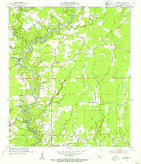
1954 · Watson
USGS Topo · 1:24,000
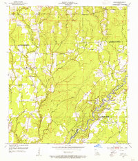
1954 · Pride
USGS Topo · 1:24,000