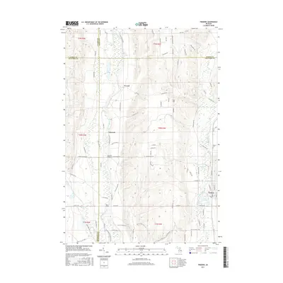
2017 Map of Frederic
USGS Topo · Published 2017About this map
The upper reaches of the Manistee River and the Au Sable River converge in this northern Michigan landscape, marking a vital hydrological divide where waters flow toward both Lake Michigan and Lake Huron. The settlement of Frederic serves as the primary hub, situated near the headwaters of the Au Sable. To the north and west, the terrain is defined by the winding course of the Manistee, which passes through historic locales such as Deward, Ishaward, and Cameron Bridge.
Find a feature on this map
88 named features on this map. Tap any name to fly to it.
Don’t see what you’re looking for? This feature index may not catch every label — zoom into the map to look around manually.
Map Details
Editions of this 2017 Frederic Map
This is the sole edition of this map. No revisions or reprints were ever made.
Other maps of this area

1949 · Black Creek
USGS Topo · 1:24,000

1949 · Otsego Lake
USGS Topo · 1:62,500

1949 · Fletcher
USGS Topo · 1:62,500

1949 · Grayling
USGS Topo · 1:62,500

1950 · Lake Margrethe
USGS Topo · 1:24,000

1950 · Grayling
USGS Topo · 1:24,000

1951 · Big Bradford Lake
USGS Topo · 1:24,000

1951 · Grayling
USGS Topo · 1:24,000

1951 · Otsego Lake
USGS Topo · 1:24,000

1954 · Traverse City
USGS Topo · 1:250,000