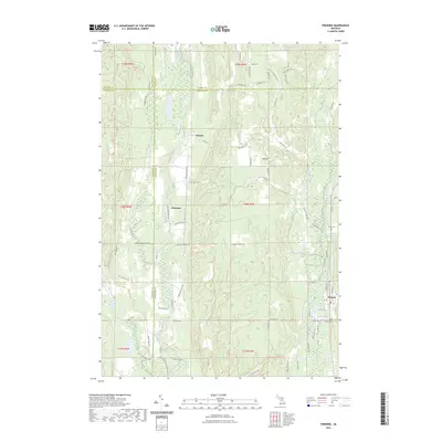
2023 Map of Frederic
USGS Topo · Published 2023About this map
Frederic serves as the primary hub in this northern Michigan landscape, situated where the headwaters of the Au Sable River begin their eastward journey. The area is defined by a dense network of recreational and historic paths, including the Kalkaska Trl and Shawnee Trl, which navigate the glacial topography of Toll Hill and Poverty Perch. The Manistee River flows through the western half of the quadrangle, passing near the old settlement sites of Deward and Ishaward, locations deeply tied to the region's logging heritage.
Find a feature on this map
83 named features on this map. Tap any name to fly to it.
Don’t see what you’re looking for? This feature index may not catch every label — zoom into the map to look around manually.
Map Details
Editions of this 2023 Frederic Map
This is the sole edition of this map. No revisions or reprints were ever made.
Other maps of this area

1949 · Black Creek
USGS Topo · 1:24,000

1949 · Otsego Lake
USGS Topo · 1:62,500

1949 · Fletcher
USGS Topo · 1:62,500

1949 · Grayling
USGS Topo · 1:62,500

1950 · Lake Margrethe
USGS Topo · 1:24,000

1950 · Grayling
USGS Topo · 1:24,000

1951 · Big Bradford Lake
USGS Topo · 1:24,000

1951 · Grayling
USGS Topo · 1:24,000

1951 · Otsego Lake
USGS Topo · 1:24,000

1954 · Traverse City
USGS Topo · 1:250,000