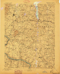
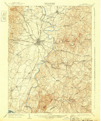
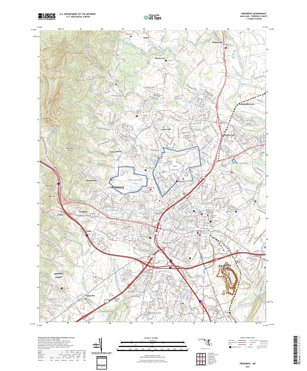
1894 Map of Frederick
USGS Topo · Published 1897About this map
Potomac River crossings and the vital Chesapeake & Ohio Canal corridor define the southwestern edge of this late 19th-century landscape. This survey represents the interconnected rural economies of Frederick, Carroll, Howard, and Montgomery counties, where transportation networks like the Baltimore & Ohio R. R. and Penna R. R. began to reshape the older agricultural order. The topography is dominated by the prominent rise of Sugar Loaf Mtn., a landmark standing in contrast to the numerous creek valleys that supported early industry.
Find a feature on this map
176 named features on this map. Tap any name to fly to it.
Don’t see what you’re looking for? This feature index may not catch every label — zoom into the map to look around manually.
Map Details
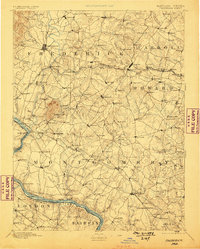
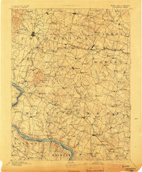
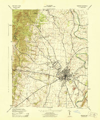
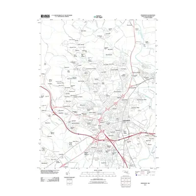
Editions of this 1894 Frederick Map
5 editions found

Historical Maps of Germantown Through Time
12 maps found

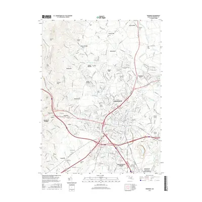
1893 Frederick
Frederick County, MD
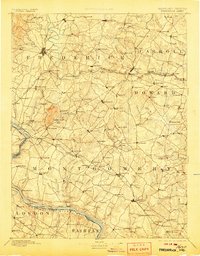
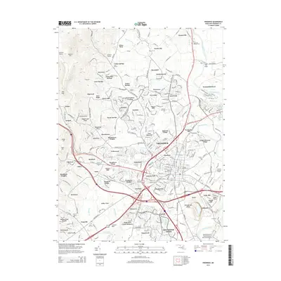
1894 Frederick
Frederick County, MD
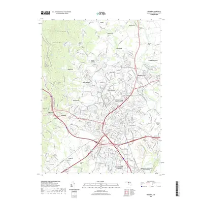
1909 Frederick
Frederick County, MD

1942 Frederick
Frederick County, MD
1944 Frederick
Frederick County, MD
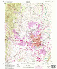
1953 Frederick
Frederick County, MD

1984 Frederick
Frederick County, MD
2011 Frederick
Frederick County, MD
2014 Frederick
Frederick County, MD
2016 Frederick
Frederick County, MD
2019 Frederick
Frederick County, MD
2023 Frederick
Frederick County, MD