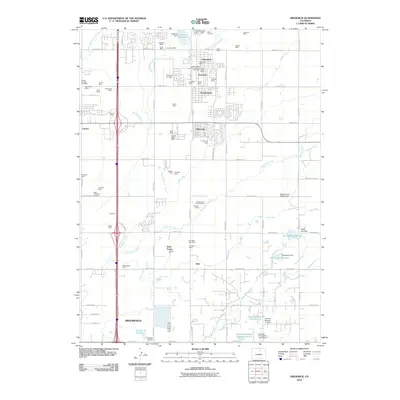
2010 Map of Frederick
USGS Topo · Published 2010About this map
Firestone Mine, Puritan Mine, and dozens of other named coal operations define the industrial heritage between the growing municipalities of Firestone, Frederick, and Dacono. This landscape is deeply shaped by the extractive economy of the Northern Colorado coalfield, where shaft locations like the New Shaft and Sterling Mine are plotted alongside a complex network of irrigation infrastructure. The movement of water through the Boulder and Weld County Ditch, Stanley Ditch, and Bull Canal highlights the secondary importance of agriculture in this semi-arid region, feeding numerous storage sites including German Reservoir Number 12 and the Section 35 Reservoir. The map also captures specialized transport hubs like the Suckla Farms Balloonport and Firestone Air Park, illustrating the mix of rural, industrial, and suburban development characteristic of the early 21st-century Front Range corridor.
Find a feature on this map
94 named features on this map. Tap any name to fly to it.
Don’t see what you’re looking for? This feature index may not catch every label — zoom into the map to look around manually.
Map Details
Editions of this 2010 Frederick Map
This is the sole edition of this map. No revisions or reprints were ever made.
Other maps of this area

1890 · East Denver
USGS Topo · 1:125,000

1899 · West Denver
USGS Topo · 1:125,000

1902 · Greeley
USGS Topo · 1:125,000

1904 · Niwot
USGS Topo · 1:62,500

1940 · Brighton
USGS Topo · 1:31,680

1940 · Eastlake
USGS Topo · 1:31,680

1940 · Lafayette
USGS Topo · 1:31,680

1944 · Lafayette
USGS Topo · 1:31,680

1944 · Brighton
USGS Topo · 1:31,680

1944 · Eastlake
USGS Topo · 1:31,680