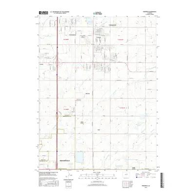
2016 Map of Frederick
USGS Topo · Published 2016About this map
The Carbon Valley communities of Firestone, Frederick, and Dacono anchor this modern landscape as it transitions from its coal-mining roots toward residential expansion. The layout of these towns remains heavily influenced by the historic rail corridors and irrigation networks essential to the area's development. An intricate web of water management features, including the Boulder and Weld County Ditch, Coal Ridge Ditch, and Stanley Ditch, crisscrosses the terrain, feeding numerous water bodies such as Firestone Lake and the Section 35 Reservoir. These canals highlight the area's ongoing reliance on engineering to support both agricultural and growing municipal needs. In the northern reaches, the Wings N Things Airpark & Museum provides a unique local landmark, while the southern edge shows the encroachment of Broomfield at the county line. The map also documents smaller locales like Evanston, Puritan, and Saint Vrains, offering a detailed view of the corridor between the northern Front Range and the high plains.
Find a feature on this map
127 named features on this map. Tap any name to fly to it.
Don’t see what you’re looking for? This feature index may not catch every label — zoom into the map to look around manually.
Map Details
Editions of this 2016 Frederick Map
This is the sole edition of this map. No revisions or reprints were ever made.
Other maps of this area

1890 · East Denver
USGS Topo · 1:125,000

1899 · West Denver
USGS Topo · 1:125,000

1902 · Greeley
USGS Topo · 1:125,000

1904 · Niwot
USGS Topo · 1:62,500

1940 · Brighton
USGS Topo · 1:31,680

1940 · Eastlake
USGS Topo · 1:31,680

1940 · Lafayette
USGS Topo · 1:31,680

1944 · Lafayette
USGS Topo · 1:31,680

1944 · Brighton
USGS Topo · 1:31,680

1944 · Eastlake
USGS Topo · 1:31,680