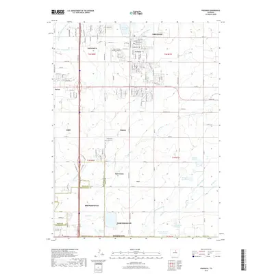
2019 Map of Frederick
USGS Topo · Published 2019About this map
Firestone and Frederick anchor the northern landscape of this region, which is defined by an intricate network of irrigation ditches and reservoirs essential to the plains north of Denver. The map documents a corridor of suburban and industrial transition, where older settlements like Evanston and Puritan sit alongside modern developments in Dacono and northern Thornton. The complex water management system is visible through features like the Coal Ridge Ditch, Stanley Ditch, and Bull Canal, which feed numerous storage bodies including the North Star Reservoir and Thompson Reservoir.
Find a feature on this map
101 named features on this map. Tap any name to fly to it.
Don’t see what you’re looking for? This feature index may not catch every label — zoom into the map to look around manually.
Map Details
Editions of this 2019 Frederick Map
This is the sole edition of this map. No revisions or reprints were ever made.
Other maps of this area

1890 · East Denver
USGS Topo · 1:125,000

1899 · West Denver
USGS Topo · 1:125,000

1902 · Greeley
USGS Topo · 1:125,000

1904 · Niwot
USGS Topo · 1:62,500

1940 · Brighton
USGS Topo · 1:31,680

1940 · Eastlake
USGS Topo · 1:31,680

1940 · Lafayette
USGS Topo · 1:31,680

1944 · Lafayette
USGS Topo · 1:31,680

1944 · Brighton
USGS Topo · 1:31,680

1944 · Eastlake
USGS Topo · 1:31,680